Vyronas National Stadium, Athens
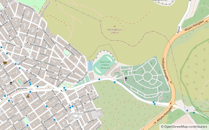
Map
Facts and practical information
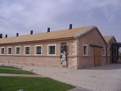
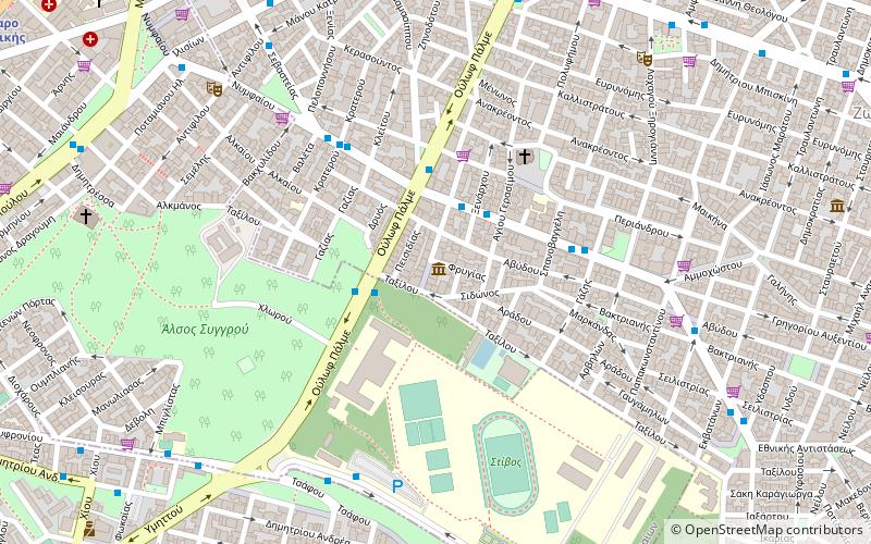
The National Stadium of Vyronas is located in east Athens, at the foot of Mount Imittos, only 3 km away from central Athens. The stadium is next to the cemetery, in the end of Vyronas. ()
Local name: Δημοτικό Στάδιο ΒύρωναCoordinates: 37°57'31"N, 23°46'10"E
Address
Athens
ContactAdd
Social media
Add
Day trips
Vyronas National Stadium – popular in the area (distance from the attraction)
Nearby attractions include: National Gallery, Gounaropoulos Museum, Pangrati, Vyronas.
Frequently Asked Questions (FAQ)
Which popular attractions are close to Vyronas National Stadium?
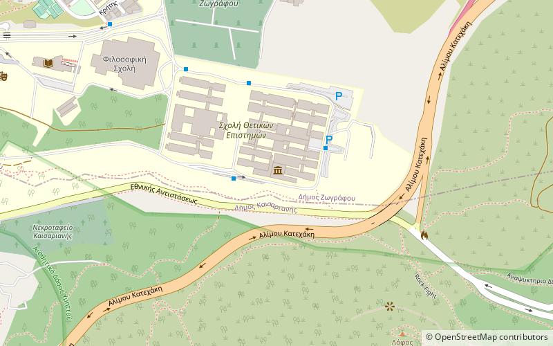
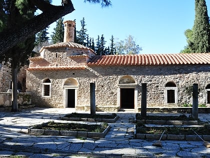
Nearby attractions include National and Kapodistrian University of Athens, Athens (20 min walk), Kaisariani, Athens (20 min walk).
How to get to Vyronas National Stadium by public transport?
The nearest stations to Vyronas National Stadium:
Bus
Trolleybus
Bus
- Νεκροταφειο • Lines: 204, 204B (3 min walk)
- Διασταυρωση • Lines: 204, 204B (6 min walk)
Trolleybus
- Παλαιο Τερμα Νεασ Ελβετιασ • Lines: 11 (15 min walk)
- Last stop Ttrolley 11 • Lines: 11 (16 min walk)
