Pangaion Hills
Map

Map

Facts and practical information
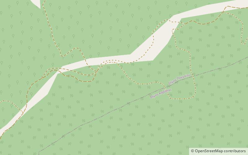
The Pangaion Hills are a mountain range in Greece, approximately 40 km from Kavala. The highest elevation is 1,956 m and the mountaintop name is Koutra. The Aegean Sea lies to the south and the plains of Philippi-Kavala to the north. The mountain range covers the southeastern portion of the Serres regional unit as well as the northwestern part of the Kavala regional unit which includes the bigger part of the hills. ()
Local name: Παγγαίο όρος Maximum elevation: 6417 ftElevation: 6417 ftProminence: 5817 ftCoordinates: 40°55'0"N, 24°19'60"E
Location
Macedonia and Thrace
ContactAdd
Social media
Add
Day trips
Pangaion Hills – popular in the area (distance from the attraction)
Nearby attractions include: Archaeological Museum of Kavala, Kavala Municipal Museum, Public, Aghios Nikolaos.


