Zarkos Mountains
Map

Map

Facts and practical information
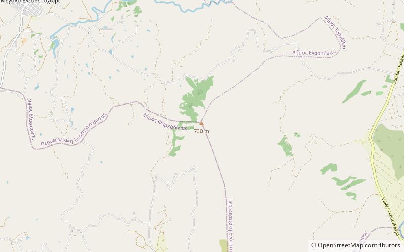
The Zarkos is a small mountain range in central Thessaly in Greece. It is situated on the border of the Larissa and the Trikala regional unit. Its highest point is 734 m. It is 15 km long and 12 km wide and covers and area of 100 to 150 km². Grasslands are in the lower elevations and forests in the higher elevations. It is drained by the river Titarisios to the north and the Pineios to the south. ()
Elevation: 2408 ftCoordinates: 39°39'25"N, 22°8'13"E
Location
Thessaly and Central Greece
ContactAdd
Social media
Add
Day trips
Zarkos Mountains – popular in the area (distance from the attraction)
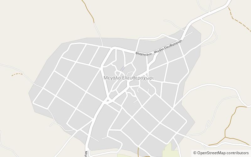
Nearby attractions include: Megalo Eleftherochori.

