Megalo Eleftherochori

Map
Facts and practical information
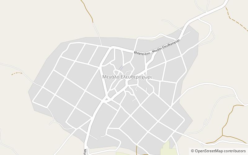
Megalo Eleftherochori is a village and a community of the Elassona municipality. Before the 2011 local government reform it was a part of the municipality of Potamia, of which it was a municipal district. The 2011 census recorded 584 inhabitants in the village. The community of Megalo Eleftherochori covers an area of 40.779 km2. Within the bounds of the community is the site of the ancient town of Ericinium. ()
Coordinates: 39°41'24"N, 22°4'42"E
Location
Thessaly and Central Greece
ContactAdd
Social media
Add
Day trips
Megalo Eleftherochori – popular in the area (distance from the attraction)
Nearby attractions include: Vlachogianni, Zarkos Mountains, Mesochori.


