Rouf, Athens
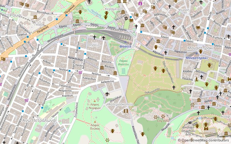
Map
Facts and practical information
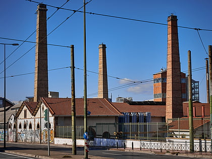
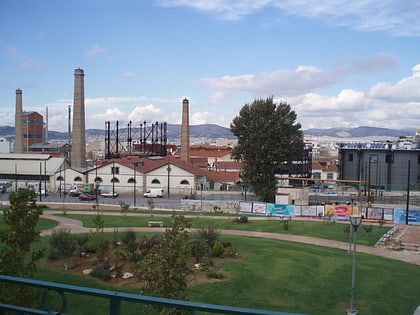
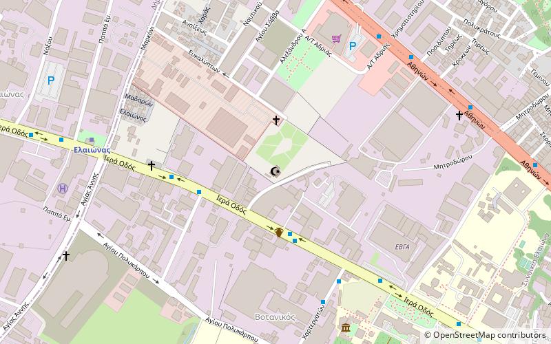
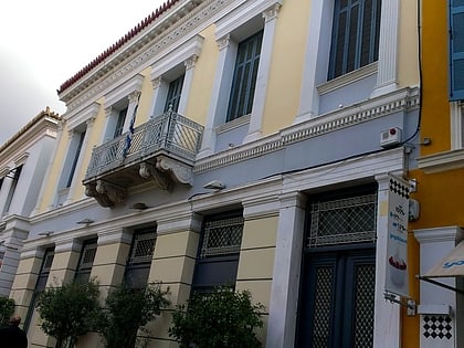
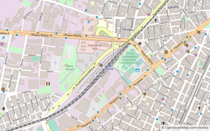
Rouf is a neighborhood of Athens, Greece. It is located to the west of the Athens centre, between Piraeus and Petrou Ralli Avenue. Rouf is named after a Bavarian businessman who, during Otto's reign, bought large areas in this location to make a farm. When the railway passed through this area, the local station was named Rouf. During the interwar period, a camp was built in Rouf. In 1947, the local team of Rouf was founded under the name Asteras Rouf and later renamed to PAO Rouf. ()
Address
Αθήνα 3 (Ρουφ)Athens
ContactAdd
Social media
Add
Day trips
Rouf – popular in the area (distance from the attraction)
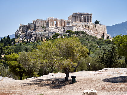
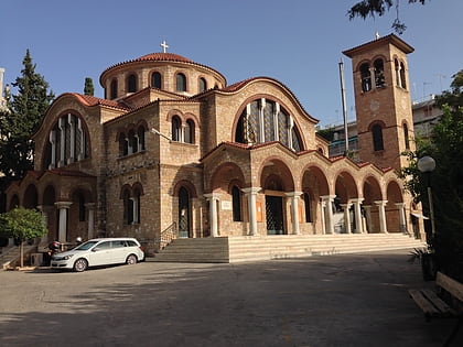
Nearby attractions include: Gazi, Pnyx, Herakleidon Museum, Holy Trinity Cathedral.
Frequently Asked Questions (FAQ)
Which popular attractions are close to Rouf?
Nearby attractions include Athinon Arena, Athens (4 min walk), Benaki Museum, Athens (7 min walk), Melina Merkouri Cultural Center, Athens (16 min walk), Patsi Street, Athens (16 min walk).
How to get to Rouf by public transport?
The nearest stations to Rouf:
Train
Bus
Trolleybus
Metro
Tram
Train
- Rouf (1 min walk)
- Tavros (17 min walk)
Bus
- Υπουργειο • Lines: 049, 815, 914 (5 min walk)
- ka (4 min walk)
Trolleybus
- Ρουφ • Lines: 21 (5 min walk)
- Πετρου Ραλλη • Lines: 21 (7 min walk)
Metro
- Petralona • Lines: Μ1 (12 min walk)
- Kerameikos • Lines: Μ3 (14 min walk)
Tram
- Kasomouli • Lines: Τ4, Τ5 (37 min walk)
