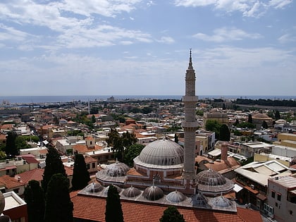
Rhodes Footbridge, Rhodes
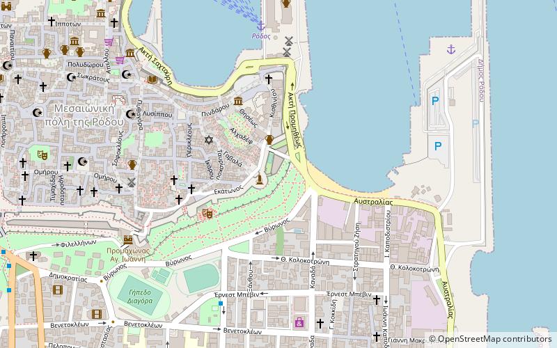
Map
Facts and practical information
Address
Rhodes
ContactAdd
Social media
Add
Day trips
Rhodes Footbridge – popular in the area (distance from the attraction)
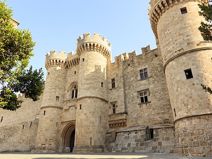
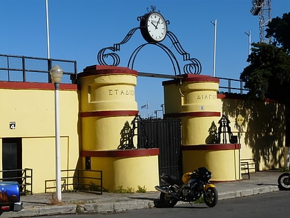
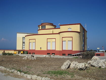
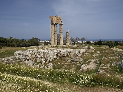
Nearby attractions include: Palace of the Grand Master of the Knights of Rhodes, Archaeological Museum of Rhodes, Diagoras Stadium, Aquarium.
Frequently Asked Questions (FAQ)
Which popular attractions are close to Rhodes Footbridge?
Nearby attractions include Kahal Shalom Synagogue, Rhodes (4 min walk), Jewish Museum of Rhodes, Rhodes (4 min walk), Diagoras Stadium, Rhodes (9 min walk), Old town, Rhodes (10 min walk).
How to get to Rhodes Footbridge by public transport?
The nearest stations to Rhodes Footbridge:
Ferry
Ferry
- Rhodos • Lines: Πειραιάς - Πάρος - Κάλυμνος - Κω, Πειραιάς - Σαντορίνη (Αθήνιος) -, Πειραιάς - Σύρος - Πάτμος - Λέρο (7 min walk)
