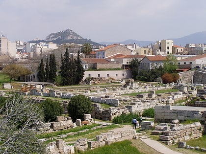
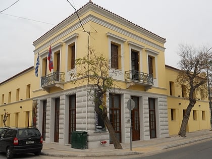
Patsi Street, Athens
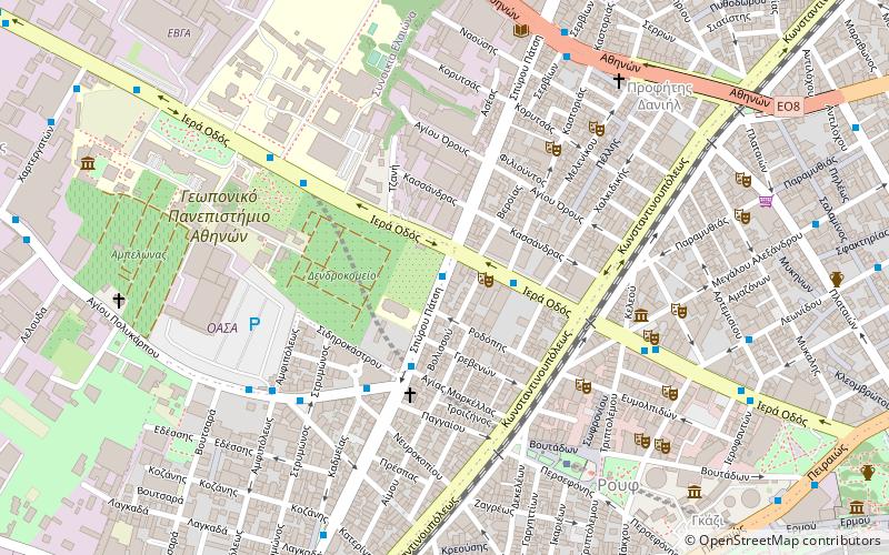
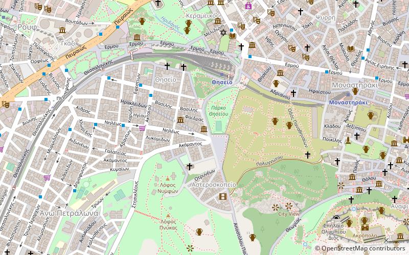
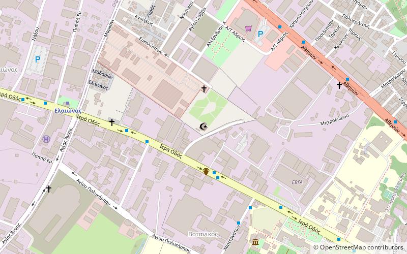
Map
Facts and practical information
Coordinates: 37°58'53"N, 23°42'32"E
Address
Αθήνα 3 (Βοτανικός)Athens
ContactAdd
Social media
Add
Day trips
Patsi Street – popular in the area (distance from the attraction)
Nearby attractions include: Gazi, Herakleidon Museum, Holy Trinity Cathedral, Technopolis.
Frequently Asked Questions (FAQ)
Which popular attractions are close to Patsi Street?
Nearby attractions include Pieridis Museum, Athens (5 min walk), Vault Theatre Plus, Athens (6 min walk), Agricultural University of Athens, Athens (7 min walk), Gazi, Athens (9 min walk).
How to get to Patsi Street by public transport?
The nearest stations to Patsi Street:
Bus
Metro
Trolleybus
Train
Tram
Bus
- Σπυρου Πατση • Lines: 026, 027, 813, 856, Α16 (1 min walk)
- Σπ.πατση • Lines: 026, 027, 813, 836, 856, Α16 (2 min walk)
Metro
- Kerameikos • Lines: Μ3 (6 min walk)
- Thissio • Lines: Μ1 (18 min walk)
Trolleybus
- Φωταεριο • Lines: 21 (10 min walk)
- Παλαια Αγορα • Lines: 21 (12 min walk)
Train
- Rouf (16 min walk)
- Athens (26 min walk)
Tram
- Fix • Lines: Τ4, Τ5 (40 min walk)
