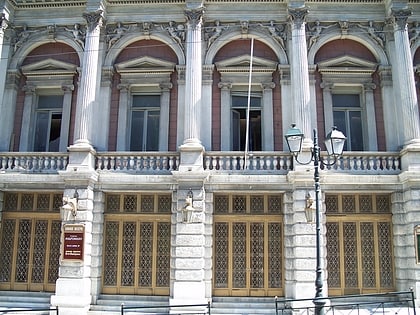
Attiki, Athens
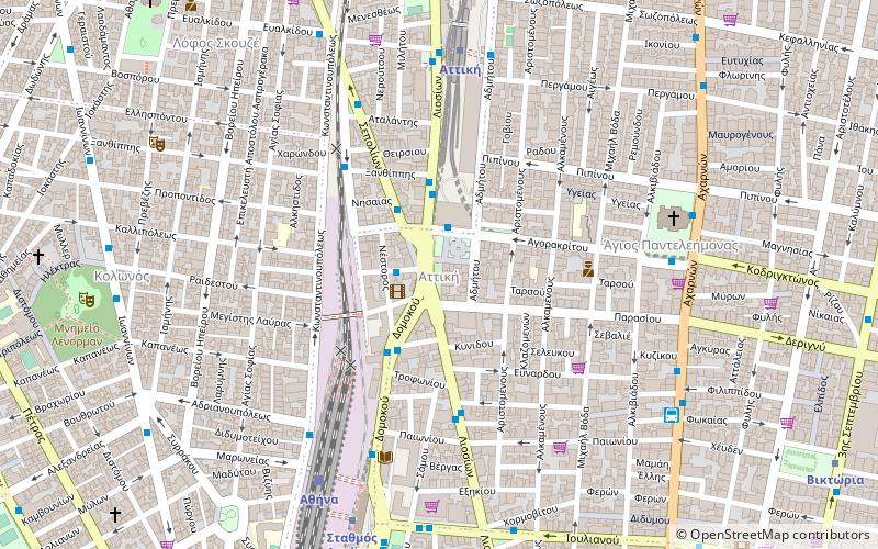
Map
Facts and practical information
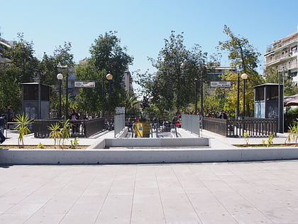
Attiki is a neighbourhood of Athens, located to the northwest of the centre. ()
Coordinates: 37°59'46"N, 23°43'21"E
Address
Αθήνα 4 (Κολωνός)Athens
ContactAdd
Social media
Add
Day trips
Attiki – popular in the area (distance from the attraction)
Nearby attractions include: National Archaeological Museum, Epigraphical Museum, Omonoia Square, Viktoria Square.
Frequently Asked Questions (FAQ)
Which popular attractions are close to Attiki?
Nearby attractions include Agios Panteleimonas, Athens (7 min walk), Kolonos, Athens (9 min walk), Skouze Hill, Athens (11 min walk), Viktoria Square, Athens (12 min walk).
How to get to Attiki by public transport?
The nearest stations to Attiki:
Trolleybus
Bus
Metro
Train
Trolleybus
- Αφετηρια • Lines: 1 (2 min walk)
- Δομοκου • Lines: 1 (3 min walk)
Bus
- Πλατεια Αττικησ • Lines: 711, 719, 720, 790, 891, Α10, Α11, Β10, Β11, Β12, Γ10, Γ12 (2 min walk)
- Ξανθιππησ • Lines: 790 (3 min walk)
Metro
- Attiki • Lines: Μ1, Μ2 (7 min walk)
- Larissa Station • Lines: Μ2 (8 min walk)
Train
- Athens (7 min walk)
- Lycabettus Hill Funicular - Top Station (39 min walk)


