Vari-Voula-Vouliagmeni, Athens

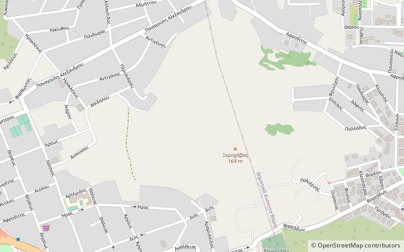
Map
Facts and practical information
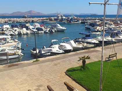
Vari-Voula-Vouliagmeni is a municipality in the East Attica regional unit of Attica, Greece. The seat of the municipality is Voula. The municipality has an area of 10,450 km2. The municipal unit has an area of 37,225 km2. It is part of Piraeus urban area, forming part of its southern suburbs and contains some of the area's most famous beaches and some of the most expensive real estate in Greece. ()
Address
Βουλιαγμένη (Bouliagmene)Athens
ContactAdd
Social media
Add
Day trips
Vari-Voula-Vouliagmeni – popular in the area (distance from the attraction)
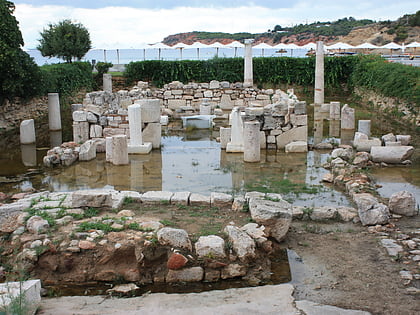
Nearby attractions include: Astir Beach, Lake Vouliagmeni, Temple of Apollo Zoster, Vari.
Frequently Asked Questions (FAQ)
How to get to Vari-Voula-Vouliagmeni by public transport?
The nearest stations to Vari-Voula-Vouliagmeni:
Bus
Bus
- Α'πλαζ Βουλιαγμενησ • Lines: 115 (13 min walk)
- Δημαρχειο • Lines: 115 (13 min walk)


