Voula, Athens
Map
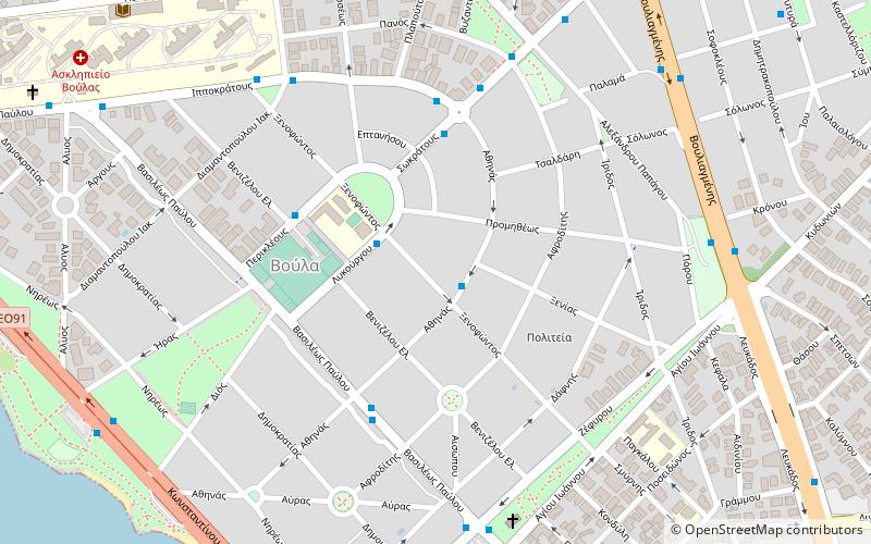
Map

Facts and practical information
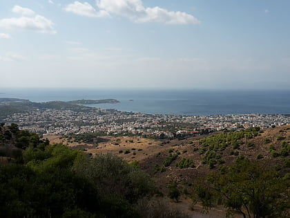
Voula is a southern suburb of Athens and former municipality in East Attica, Greece. Since the 2011 local government reform it is part of the municipality Vari-Voula-Vouliagmeni, of which it is the seat and a municipal unit. The municipal unit has an area of 8.787 km2. Grigoris Konstantellos is the incumbent mayor, elected for a second term at May 26, 2019, for the unified municipality of Vari-Voula-Vouliagmeni. ()
Day trips
Voula – popular in the area (distance from the attraction)
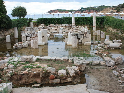
Nearby attractions include: Agios Kosmas Olympic Sailing Centre, Astir Beach, Lake Vouliagmeni, Temple of Apollo Zoster.
Frequently Asked Questions (FAQ)
How to get to Voula by public transport?
The nearest stations to Voula:
Bus
Tram
Bus
- Ξενοφωντοσ • Lines: Α1, Α2 (1 min walk)
- Σωκρατουσ • Lines: 162, Α1, Α2 (4 min walk)
Tram
- Κολυμβητήριο (24 min walk)
- Πλατεία Εσπεριδών (30 min walk)
