Arrephorion, Athens
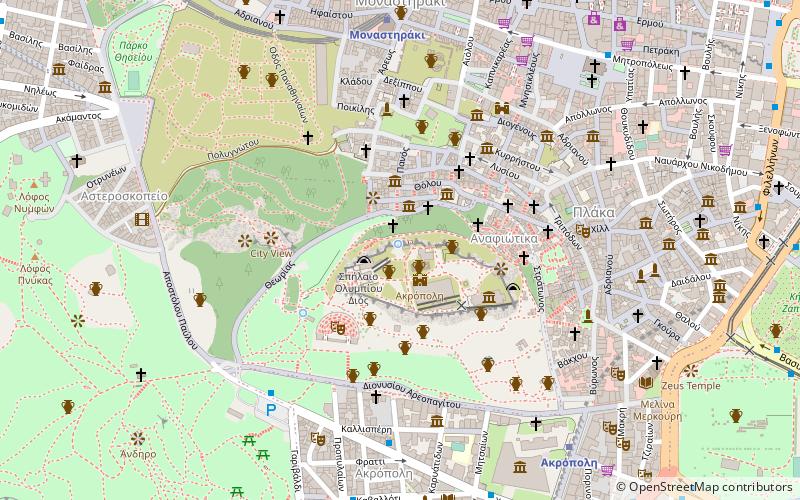
Map
Facts and practical information
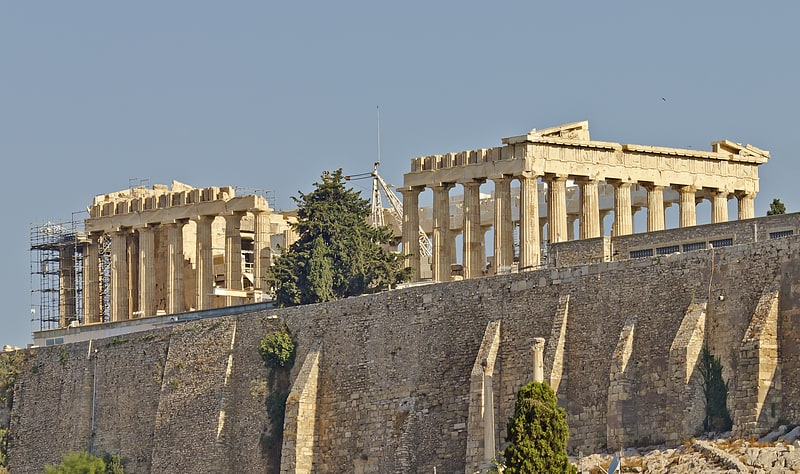
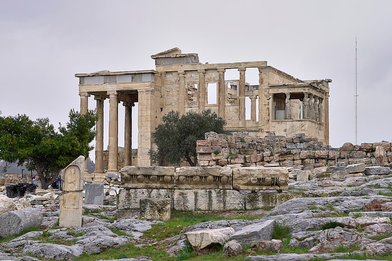
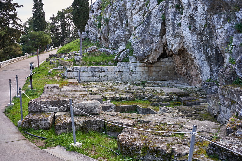
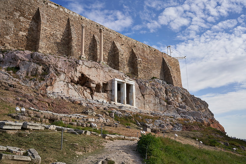
The Arrephorion or House of the Arrephoroi is a building conjectured to have been on the Acropolis of Athens based on a passage in Pausanias. The discovery of the foundations of a substantial building on the north-west edge of the Acropolis has led to the identification of this structure with the Arrephorion. ()
Address
Αθήνα 1 (Ακρόπολης)Athens
ContactAdd
Social media
Add
Getting there by public transportation
Public transportation stops near this location
- Metro
- Bus
- Trolleybus
- Tram
- Train
 Metro
Metro
- Calculate routeMonastiraki 8 min walk
- Calculate routeAkropoli 8 min walk
- Calculate routeThissio 12 min walk
- Calculate routeSyngrou-Fix 14 min walk
- Calculate routeΜοναστηρακι 9 min walk
- Calculate routeΜητροπολη 9 min walk
- Calculate routeΒορεου 10 min walk
- Calculate routeΜακρυγιαννη 11 min walk
- Calculate routeΑγιοσ Ιωαννησ 10 min walk
- Calculate routeΆγιος Ιωάννης 10 min walk
- Calculate routeΜακρυγιαννη 11 min walk
- Calculate routeΦιλελληνων 11 min walk
- Calculate routeΒουλιαγμένης 13 min walk
- Calculate routeFix 14 min walk
- Calculate routeSyntagma 14 min walk
- Calculate routeΖαππειο 16 min walk
- Calculate routeLycabettus Hill Funicular - Lower Station 29 min walk
- Calculate routeLycabettus Hill Funicular - Top Station 31 min walk
Day trips


Frequently Asked Questions (FAQ)
Which popular attractions are close to Arrephorion?
Nearby attractions include Athena Promachos, Athens (1 min walk), Erechtheion, Athens (1 min walk), Acropolis, Athens (2 min walk), Cave Sanctuaries of the Akropolis, Athens (2 min walk).
How to get to Arrephorion by public transport?
The nearest stations to Arrephorion:
Metro
Bus
Trolleybus
Tram
Train
Metro
- Monastiraki • Lines: Μ1, Μ3 (8 min walk)
- Akropoli • Lines: Μ2 (8 min walk)
Bus
- Μοναστηρακι • Lines: 025, 026, 027, 035, 227, 500 (9 min walk)
- Μητροπολη • Lines: 025 (9 min walk)
Trolleybus
- Αγιοσ Ιωαννησ • Lines: 1, 15, 5 (10 min walk)
- Άγιος Ιωάννης • Lines: 1, 15, 5 (10 min walk)
Tram
- Βουλιαγμένης • Lines: Τ4, Τ5 (13 min walk)
- Fix • Lines: Τ4, Τ5 (14 min walk)
Train
- Lycabettus Hill Funicular - Lower Station (29 min walk)
- Lycabettus Hill Funicular - Top Station (31 min walk)