Tasersuatsiaq
Map

Map

Facts and practical information
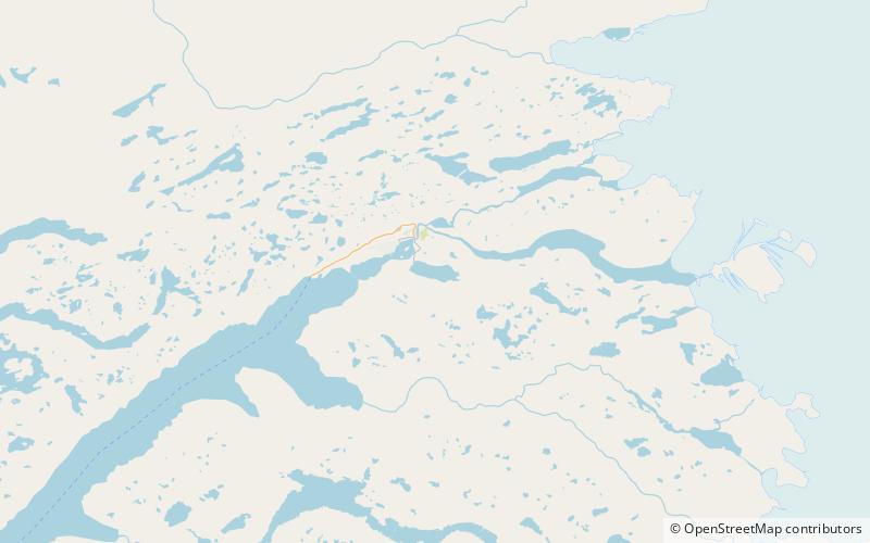
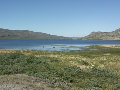
Tasersuatsiaq is a lake in central-western Greenland, in the Qeqqata municipality. It is located southeast of Kangerlussuaq, with a depth of 80 m, covering an area of 750ha. During the operating years of the American base at Bluie West Eight at Kangerlussuaq the lake was referred to as Lake Ferguson. The lake and the Roklubben Restaurant at its western shore are connected to Kangerlussuaq by a gravel road, one of the very few in Greenland. Tasersuatsiaq is a source of fresh water for Kangerlussuaq. ()
Local name: Lake Ferguson Length: 3.73 miWidth: 6562 ftAverage depth: 262 ftElevation: 266 ft a.s.l.Coordinates: 66°58'22"N, 50°38'14"W
Location
Qeqqata
ContactAdd
Social media
Add
Day trips
Tasersuatsiaq – popular in the area (distance from the attraction)
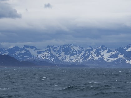
Nearby attractions include: Kangerlussuaq Fjord.

