Aajuitsup Tasia
Map

Gallery

Facts and practical information
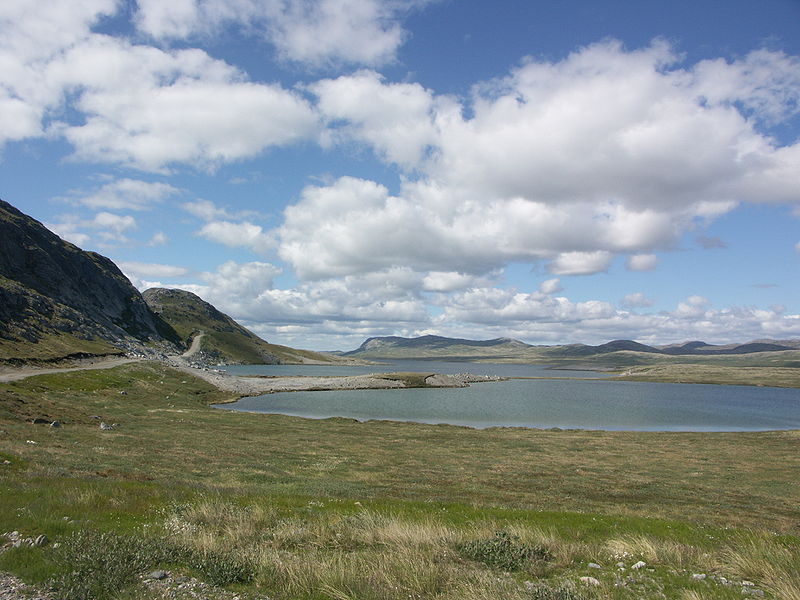
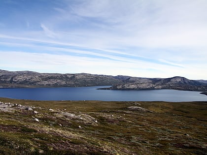
Aajuitsup Tasia is a large lake in central-western Greenland, in the Qeqqata municipality. It is located approximately 12 km northeast of Kangerlussuaq. It is of elongated oval shape, with its western shore at 67°04′45″N 50°30′02″W and its eastern shore at 67°05′35″N 50°16′30″W. Aajuitsup Tasia is an oligotrophic lake of 32 m depth, covering an area of 1,350ha. ()
Alternative names: Length: 6.21 miWidth: 6562 ftAverage depth: 105 ftElevation: 817 ft a.s.l.Coordinates: 67°5'9"N, 50°23'33"W
Location
Qeqqata
ContactAdd
Social media
Add
Day trips
Aajuitsup Tasia – popular in the area (distance from the attraction)
Nearby attractions include: Sanningasoq, Russell Glacier.


