Russell Glacier

Gallery (2)
Map
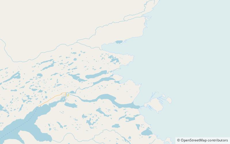
Map
Gallery
Facts and practical information
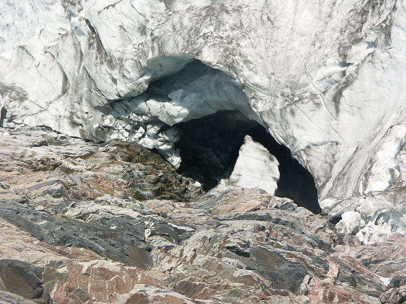
Russell Glacier is a glacier in the Qeqqata municipality in central-western Greenland. It flows from the Greenland ice sheet in the western direction. The front of the glacier is located 25 km east of Kangerlussuaq. It is active, advancing 25 m every year, and, due to easy access from Kangerlussuaq, it remains a popular place for tourists to visit. ()
Coordinates: 67°5'45"N, 50°13'0"W
Location
Qeqqata
ContactAdd
Social media
Add
Day trips
Russell Glacier – popular in the area (distance from the attraction)
Nearby attractions include: Aajuitsup Tasia.
