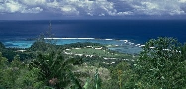
Fort Nuestra Señora de la Soledad
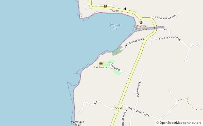
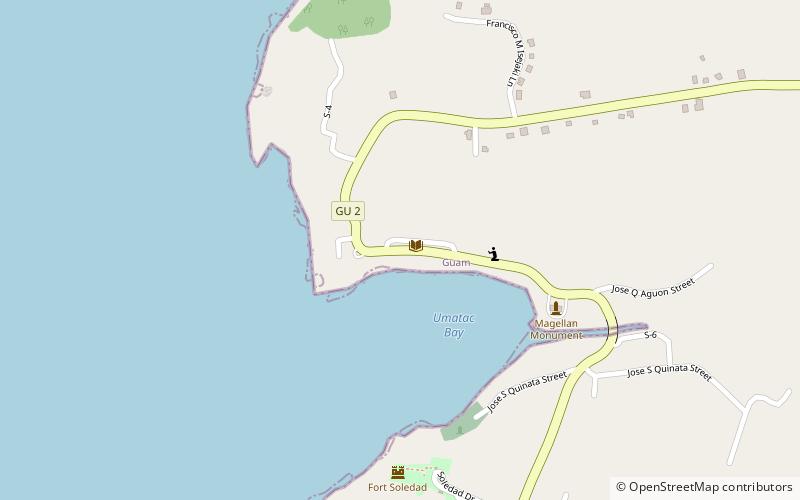
Map
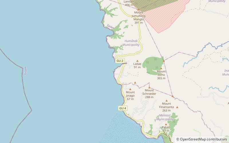
Gallery
Facts and practical information
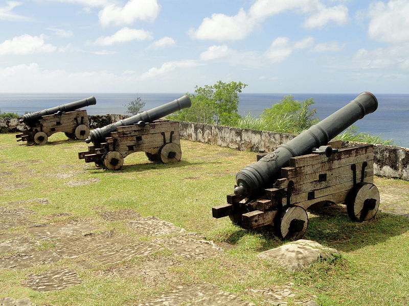
Fort Nuestra Señora de la Soledad is a fortification near Umatac, Guam. Built by the Spanish probably between 1802 and 1819, it was the fourth of four fortifications that protected an anchorage for galleons transiting between Acapulco, Mexico and the Philippines, a route that fell out of use in 1815 with Mexican independence. ()
Coordinates: 13°17'36"N, 144°39'29"E
Location
Umatac
ContactAdd
Social media
Add
Day trips
Fort Nuestra Señora de la Soledad – popular in the area (distance from the attraction)
Nearby attractions include: War in the Pacific National Historical Park, Church of San Dionisio, Fort Soledad, Umatac Outdoor Library.

