Fort Soledad

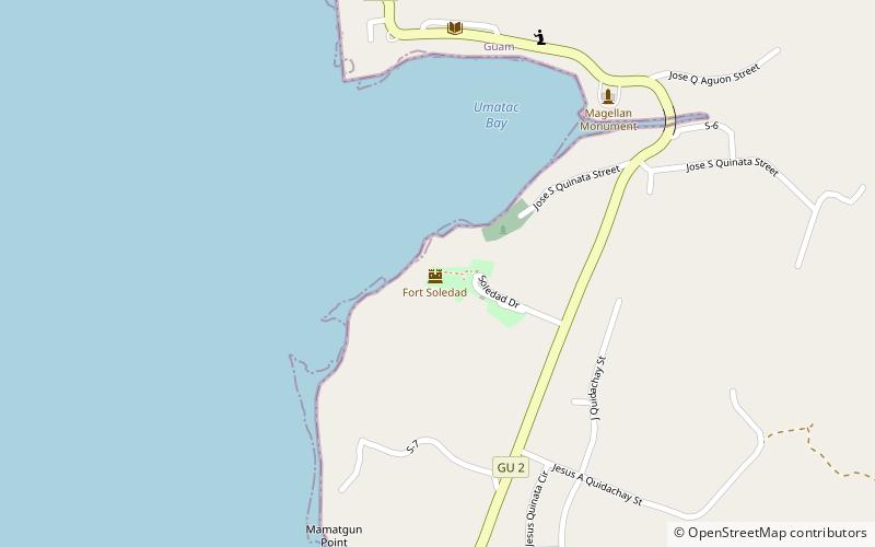
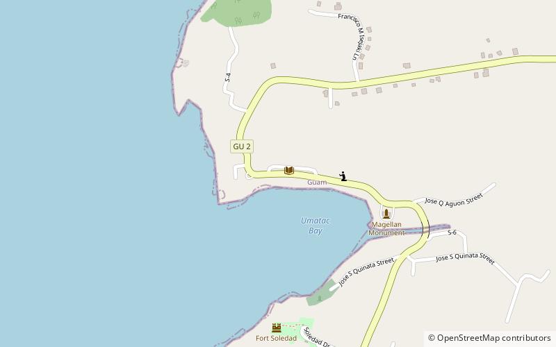
Map
Facts and practical information
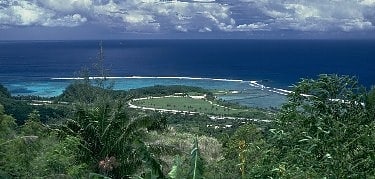
Fuerte Nuestra Señora de la Soledad or Fort Soledad is a fort in Umatac, Guam built by the Spanish in 1810 and named for Our Lady of Solitude. It is the last of the four forts build around Umatac Bay. ()
Coordinates: 13°17'42"N, 144°39'36"E
Location
Umatac BayUmatac 96915 Umatac
ContactAdd
Social media
Add
Day trips
Fort Soledad – popular in the area (distance from the attraction)
Nearby attractions include: War in the Pacific National Historical Park, Church of San Dionisio, Fort Nuestra Señora de la Soledad, Umatac Outdoor Library.


