Almolonga, Quetzaltenango

Gallery (1)
Map
Map
Facts and practical information
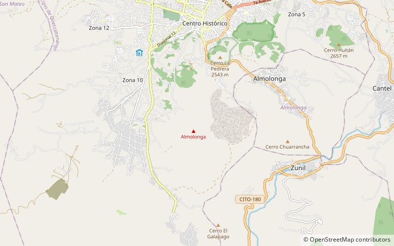
The Almolonga volcano, also called "Cerro Quemado" or "La Muela" due to its distinct shape, is an andesitic stratovolcano in the south-western department of Quetzaltenango in Guatemala. The volcano is located near the town of Almolonga, just south of Quetzaltenango, Guatemala's second largest city. ()
Local name: Volcán de Cerro Quemado Last eruption: 1818Elevation: 10489 ftCoordinates: 14°48'0"N, 91°31'12"W
Address
Quetzaltenango
ContactAdd
Social media
Add
Day trips


