Cantel, Quetzaltenango
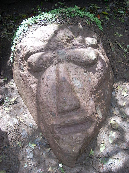
#6 among attractions in Quetzaltenango
Facts and practical information
Cantel is a municipality in the Quetzaltenango Department in Guatemala. It is located east of the city of Quetzaltenango and has an area of 52.6 km2. The town of Cantel, with a population of 35,825, is situated at an altitude of 2,370 metres. ()
Quetzaltenango Guatemala
Quetzaltenango plan & book
Unleash the traveler in you — discover the cheapest flight deals, find the perfect hotel or hostel nearby, and search for the best car rental prices. Travel at your own pace to discover new places and enjoy your journey.
Cantel – popular in the area (distance from the attraction)
Nearby attractions include: Holy Spirit Cathedral, Teatro Roma, Chapel of San Jacinto, Zunil.
- 4.4 miWChurch
Holy Spirit Cathedral, Quetzaltenango
113 min walk • The Holy Spirit Cathedral also called Quetzaltenango Cathedral, is a Catholic church in Quetzaltenango, Guatemala. It was founded by the conquistadors, shortly after having defeated the legendary local hero Tecun Uman.
- 4.6 miNWConcerts and shows, Theater
Teatro Roma, Quetzaltenango
118 min walk • The Quetzaltenango Municipal Theatre, known as the Teatro Municipal is a theatre in Quetzaltenango, Guatemala. The historical building still hosts theatrical presentations and is also noted for its jazz performances which attract many visitors to the theatre.
- 4.8 miNChurch
Chapel of San Jacinto, Quetzaltenango
124 min walk • The Chapel of San Jacinto is a Roman Catholic chapel located in the town of Salcajá, Guatemala. It is said to have been founded by the Franciscans in 1524, the same year the Maya K'iche' kingdom was conquered by the Spanish conquistadores, and is claimed to be the first church built in Central America.
- 2.7 miSWArea
Zunil, Quetzaltenango
69 min walk • Zunil is a town and municipality in the Quetzaltenango department of Guatemala with a surface area of 80 square kilometres. The town of Zunil is located 9 kilometres from the city of Quetzaltenango, on the bank of the Salamá River.
- 2.6 miWArea
Almolonga, Quetzaltenango
68 min walk • Almolonga is a town, with a population of 12,299, and a municipality in the Quetzaltenango Department of Guatemala, located on the road between Ciudad de Quetzaltenango and Zunil.
- 5 miNArea
Salcajá, Quetzaltenango
127 min walk • Salcajá is a town and municipality in Quetzaltenango department of Guatemala. Salcajá is best known for the Church of San Jacinto, founded in 1524, which was the first church built in Central America since it was one of the first places invaded in the Spanish conquest of Guatemala.
- 4.4 miWNature, Natural attraction, Volcano
Almolonga, Quetzaltenango
112 min walk • The Almolonga volcano, also called "Cerro Quemado" or "La Muela" due to its distinct shape, is an andesitic stratovolcano in the south-western department of Quetzaltenango in Guatemala. The volcano is located near the town of Almolonga, just south of Quetzaltenango, Guatemala's second largest city.
- 3.4 miWNational park, Park, View point
Camino Parque Cerro el Baúl, Quetzaltenango
88 min walk • Cerro El Baúl, also known as El Baúl, is a forested lava dome overlooking the valley of Quetzaltenango. It is located about 3 km north of the Almolonga volcano, at the south-eastern edge of the city of Quetzaltenango in Guatemala. And is one of the city's last remaining green areas.
- 4.6 miNWSport, Arenas and stadiums, Sport venue
Estadio Mario Camposeco, Quetzaltenango
117 min walk • The Estadio Mario Camposeco is a football stadium located in Quetzaltenango, Guatemala. It is the home of one of the most traditional clubs in Guatemala, Xelajú MC. It has a capacity of 11,220.
- 6.5 miNENature, Natural attraction, Mountain
Cerro de Coxóm
166 min walk • Cerro de Coxóm is a stratovolcano in Totonicapán in western Guatemala. The 3,045-metre-high volcano is located at the eastern edge of the valley of Quetzaltenango.