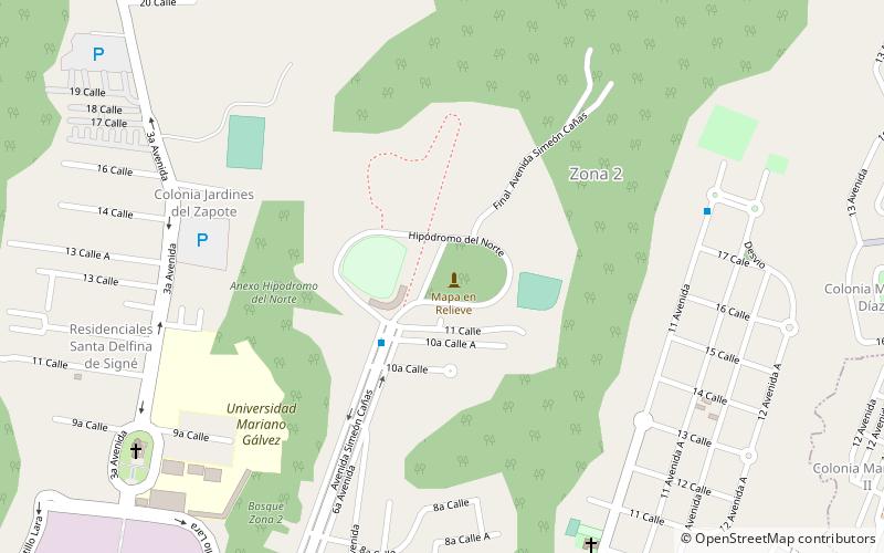
Relief map of Guatemala, Guatemala City

Facts and practical information
Nestled in the heart of Guatemala City lies a unique and captivating attraction: the Relief Map of Guatemala. This remarkable three-dimensional representation of the country's diverse topography is an open-air exhibit that offers visitors an unparalleled view of Guatemala's geographical features.
Spanning an area of approximately 1,800 square meters, the map was constructed in 1904 under the supervision of Francisco Vela, an engineer, with the assistance of Lieutenant Colonel Claudio Urrutia. The map is a testament to early 20th-century craftsmanship and ingenuity, designed to provide an educational overview of the country's landscapes, including its mountains, rivers, and volcanoes.
The Relief Map is situated within a park that serves as a peaceful oasis amidst the bustling cityscape. The park's serene environment is perfect for leisurely strolls, where one can appreciate the meticulous details of the map. The topographical model is at a scale of 1:10,000 (horizontal) and 1:2,000 (vertical), allowing for a dramatic visualization of the country's physical features.
Visitors to the Relief Map of Guatemala can gain a deeper understanding of the nation's terrain and how it has shaped the development of its regions. Educational plaques in both Spanish and English provide context and information, making the exhibit both a cultural and learning experience.
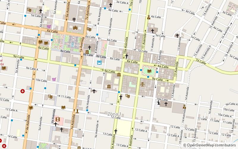
Final Avenida Simeón Cañas, zona 2Guatemala City
- Bus
 Bus
Bus
- Calculate routeCerro del Carmen 23 min walk
- Calculate routeEstación La Merced MRT6/18 30 min walk
- Calculate routeVictorias 34 min walk
- Calculate routeSan Martín 35 min walk


Frequently Asked Questions (FAQ)
How to get to Relief map of Guatemala by public transport?
Bus
- Cerro del Carmen • Lines: L18 (23 min walk)
- Estación La Merced MRT6/18 • Lines: L18 (30 min walk)