San Andrés, Flores, Petén

Gallery (1)
Map
Map
Facts and practical information
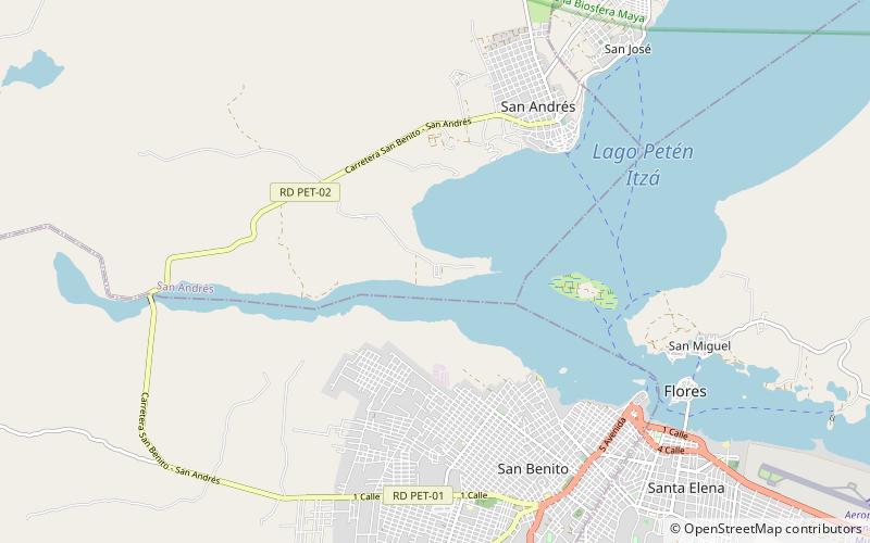
San Andrés is a municipality in the department of El Petén in Guatemala. The municipality is formed by the town of San Andrés, located on the north-western shore of Lake Petén Itzá, and 55 rural communities, with a total population of 20,295 people. ()
Address
Flores, Petén
ContactAdd
Social media
Add
Day trips