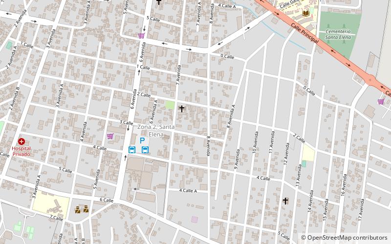
Nixtun Chʼichʼ, Flores, Petén
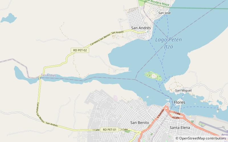
Map
Facts and practical information
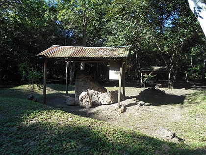
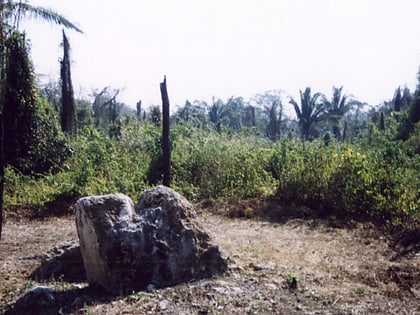
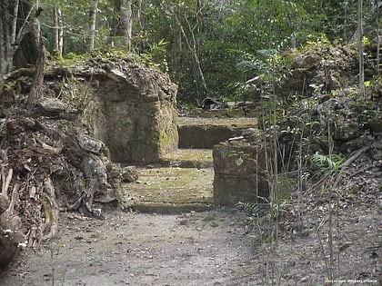
Nixtun-Chʼichʼ is an Itza Maya archaeological site in Petén Department, Guatemala. It has an urban grid with fairly well ordered streets and avenues dated to around 2500 years ago. This is one of the earliest urban grids in the Americas and likely emerged as the ancient Maya developed more complex forms of political organization. It was likely a means to regulate and perhaps dominate the inhabitants. Nevertheless, the grid system at Nixtun-Chʼichʼ did not catch on and is not seen in later Maya cities. ()
Coordinates: 16°56'53"N, 89°55'52"W
Address
Flores, Petén
ContactAdd
Social media
Add
Day trips
Nixtun Chʼichʼ – popular in the area (distance from the attraction)
Nearby attractions include: Tayasal Archaeological Site, Motul de San José, San Andrés, Petén Basin.
