Chama
Map

Map

Facts and practical information
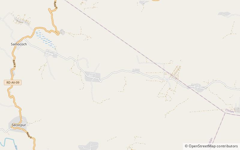
Chama is a small Late-Classic Maya highland site, situated in the Chixoy River valley of the Alta Verapaz department of Guatemala, some fifty kilometers north-west of San Pedro Carchah. Small-scale excavations were carried out in the early twentieth century by Robert J. Burkitt of the Pennsylvania University Museum. The site belongs to the periphery of the lowland Maya kingdoms. It has been argued that Chama was colonized from the lowlands somewhere at the beginning of the eighth century and then developed its characteristic, but short-lived Classical ceramic style. ()
Location
Alta Verapaz
ContactAdd
Social media
Add
Day trips
Chama – popular in the area (distance from the attraction)
Nearby attractions include: Chisec.

