Marché en Fer, Port-au-Prince
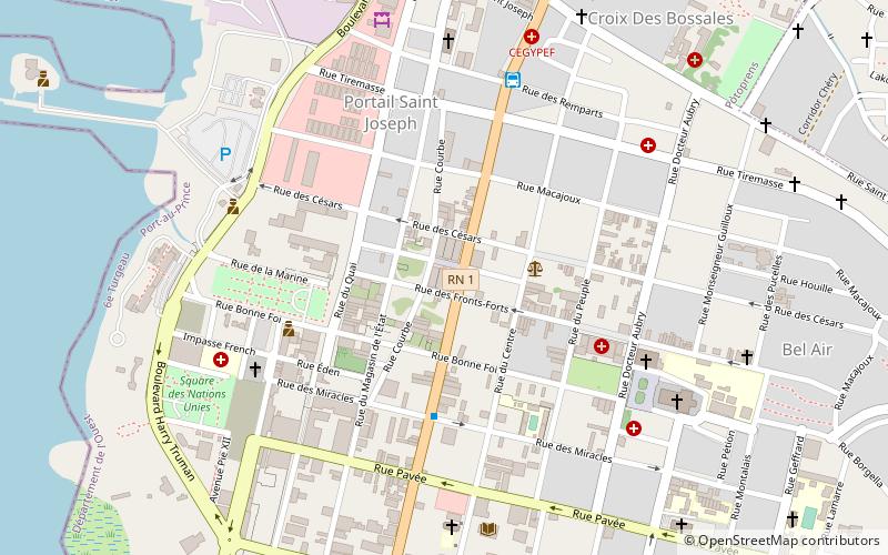
Map
Facts and practical information
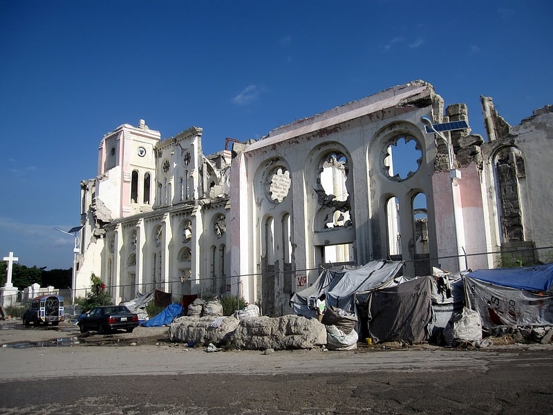
Marché en Fer or Marché de Fer also known as the Marché Hyppolite and the Marché Vallières is a public market in Haiti’s capital, Port‑au‑Prince. It was damaged by fire in 2008 and destroyed in the 2010 Haiti earthquake, but was restored. In February 2018 it burned again, with one of the two halls being destroyed. ()
Address
Cnr Grand Rue & Rue des Fronts FortsPort-au-Prince 0000
ContactAdd
Social media
Add
Getting there by public transportation
Public transportation stops near this location
- Bus
 Bus
Bus
- Calculate routeStation P-au-P Mirbalais, P-au-P Lascahobas 7 min walk
- Calculate routeCentre Ville 7 min walk
- Calculate routeGrandans Tours 15 min walk
- Calculate routeCarrefour Aviation 19 min walk
Day trips


Frequently Asked Questions (FAQ)
Which popular attractions are close to Marché en Fer?
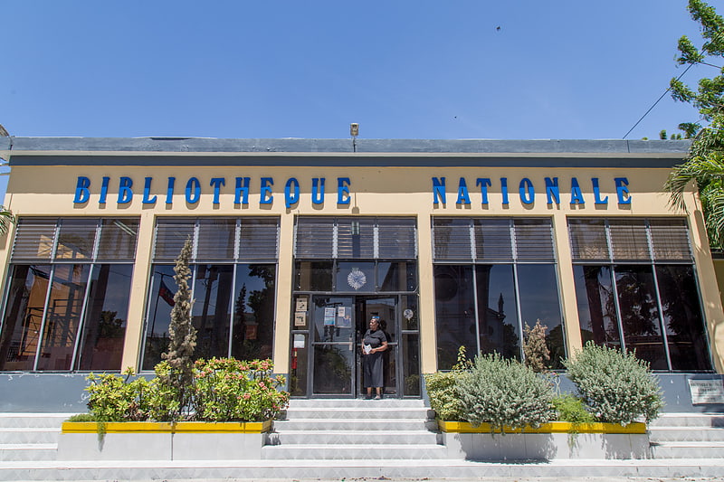
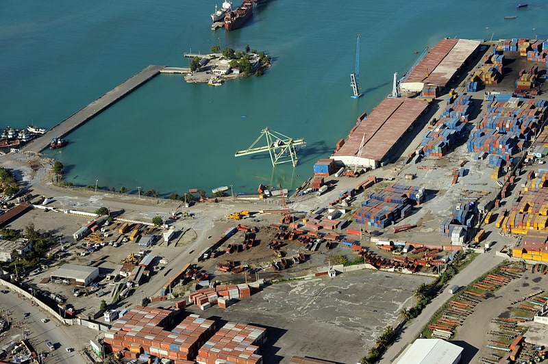
Nearby attractions include National Library of Haiti, Port-au-Prince (9 min walk), Cathedral of Our Lady of the Assumption, Port-au-Prince (9 min walk), Holy Trinity Cathedral, Port-au-Prince (12 min walk), Port international de Port-au-Prince, Port-au-Prince (12 min walk).
How to get to Marché en Fer by public transport?
The nearest stations to Marché en Fer:
Bus
Bus
- Station P-au-P Mirbalais, P-au-P Lascahobas (7 min walk)
- Centre Ville • Lines: Centre Ville - Waaf, Waaf (Cite Soleil) - Centre Vill (7 min walk)