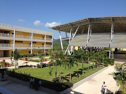
Bel Air, Port-au-Prince
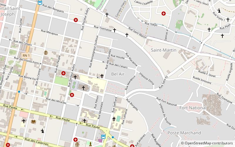
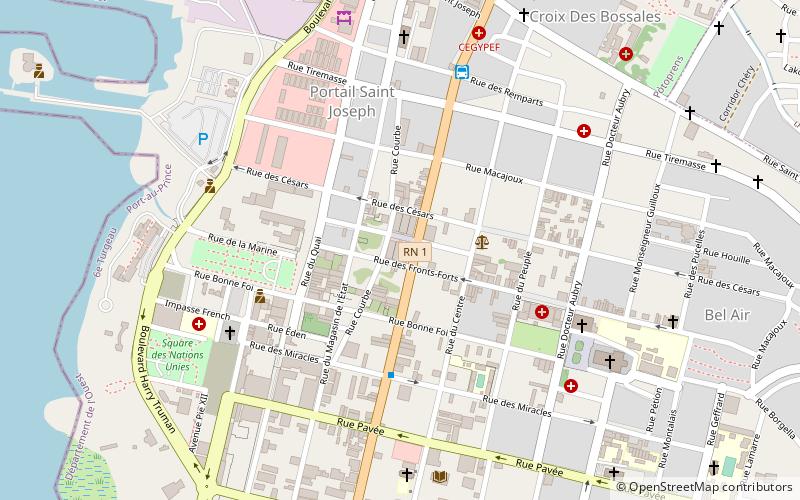
Map
Facts and practical information
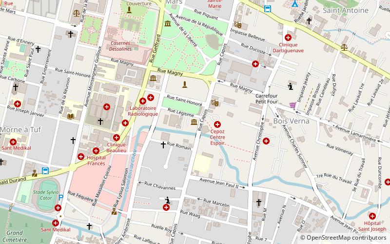
Bel Air is a neighborhood of Port-au-Prince, Haiti. It is a slum area of the city and suffers from poverty. Crime is widespread, and kidnappings and killings have created panic among the local population. The neighborhood is also noted for housing a community of artists and craftsmen who produce inspired by Haitian Vodou, such as flags. ()
Coordinates: 18°32'60"N, 72°20'10"W
Address
Port-au-Prince
ContactAdd
Social media
Add
Day trips
Bel Air – popular in the area (distance from the attraction)
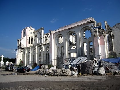
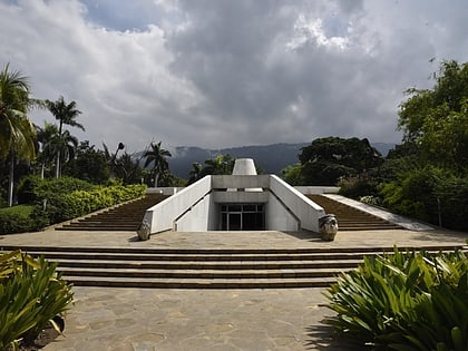
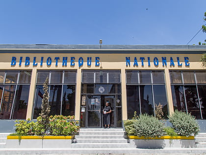
Nearby attractions include: Cathedral of Our Lady of the Assumption, Mupanah, National Museum of Art, National Library of Haiti.
Frequently Asked Questions (FAQ)
Which popular attractions are close to Bel Air?
Nearby attractions include Cathedral of Our Lady of the Assumption, Port-au-Prince (5 min walk), Holy Trinity Cathedral, Port-au-Prince (8 min walk), National Library of Haiti, Port-au-Prince (12 min walk), Marché en Fer, Port-au-Prince (12 min walk).
How to get to Bel Air by public transport?
The nearest stations to Bel Air:
Bus
Bus
- Grandans Tours (8 min walk)
- Poste Marchand (13 min walk)
