Pic Macaya National Park Travel Guide
| Due to the unstable situation and very high level of general risk, traveling to Haiti may be dangerous. Read more |
Facts and practical information
Located in the Sud region of Haiti, Pic Macaya National Park is a breathtaking natural wonder that offers a unique and enriching experience for nature enthusiasts and adventure seekers alike. Spanning over 20,000 hectares, the park is home to a diverse range of flora and fauna, including many species that are endemic to the region.
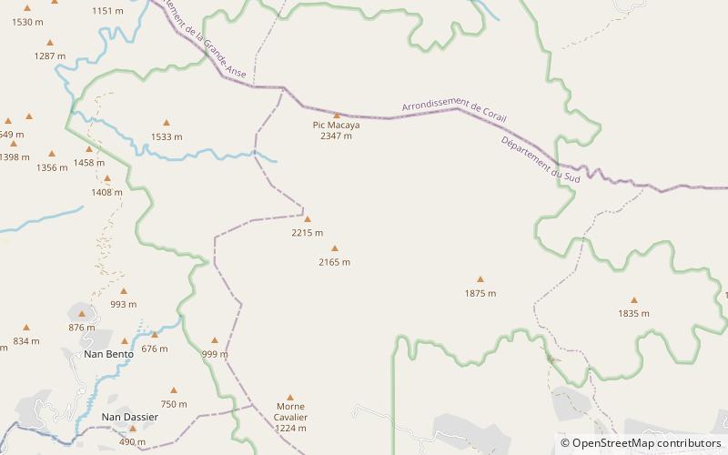
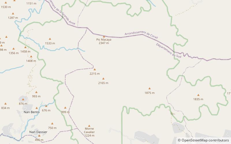
One of the park's most prominent features is the imposing Pic Macaya mountain, which stands at an impressive 2,347 meters above sea level. Hiking to the summit of this majestic peak offers visitors the opportunity to witness stunning panoramic views of the surrounding landscape, as well as the chance to observe the park's rich biodiversity up close.
In addition to its natural beauty, Pic Macaya National Park also holds significant cultural and historical importance. The park is home to several sacred caves and rock formations that are of great significance to the local Haitian community, adding a layer of cultural richness to the overall experience.
Visitors to the park can also explore its network of well-maintained trails, which wind through lush forests, cascading waterfalls, and crystal-clear streams. Birdwatchers will be delighted by the park's avian diversity, with the chance to spot rare and colorful bird species in their natural habitat.
For those seeking a truly immersive experience, camping facilities are available within the park, allowing visitors to spend the night under the stars and wake up to the tranquil sounds of nature.
Sud
Pic Macaya National Park Attractions - What to See and Explore
Pic Macaya National Park offers many attractions and places to visit. Here are the most important ones: Pic Macaya. Below you will find a complete list of places worth visiting.
Best Time To Visit Pic Macaya National Park
Learn when is the best time to travel to Pic Macaya National Park weather-wise and what to expect in each season.