Pic Macaya, Pic Macaya National Park

Map
Facts and practical information
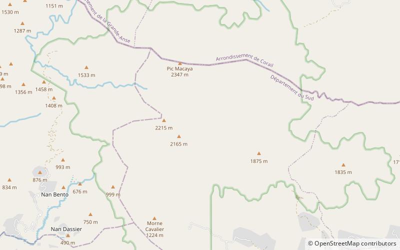
Pic Macaya is the second-highest mountain in Haiti, rising to an elevation of 2,347 metres above sea level. It is located in the Massif de la Hotte, 36 kilometres northwest of Les Cayes and 195 km west of Port-au-Prince. The mountain is located in the Pic Macaya National Park. ()
Address
Pic Macaya National Park
ContactAdd
Social media
Add
Day trips
Pic Macaya – popular in the area (distance from the attraction)
Nearby attractions include: Grande Colline National Park.
