Deux Mamelles National Park
Map

Map

Facts and practical information
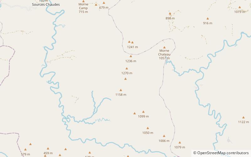
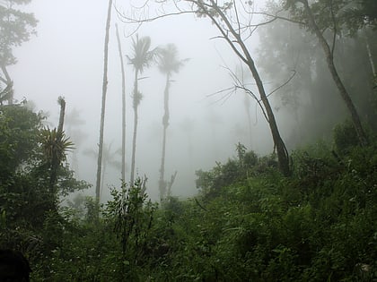
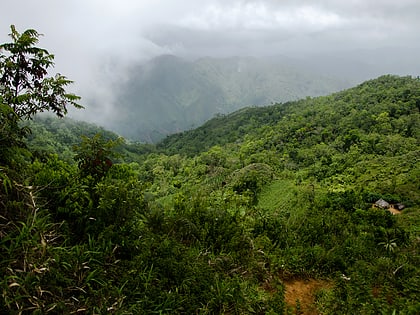
Deux Mamelles National Park is a national park in Haiti established on September 23, 2015 with an area of 2,265 hectares. It is located on the Tiburon Peninsula of Haiti, just west of a line connecting Les Anglais to the south and Jérémie to the north. The park circumscribes a U-shaped mountain, Morne Deux Mamelles, reaching 1,276 meters in elevation and is the highest mountain at the western end of the Tiburon Peninsula. Patches of the original forest remain at elevations above 1,000 meters, growing on highly dissected limestone rock. ()
Elevation: 4167 ft a.s.l.Coordinates: 18°26'40"N, 74°14'38"W
Location
Grand'Anse
ContactAdd
Social media
Add
Day trips
Deux Mamelles National Park – popular in the area (distance from the attraction)
Nearby attractions include: Grand Bois National Park.

