Hegyesd
Map

Map

Facts and practical information
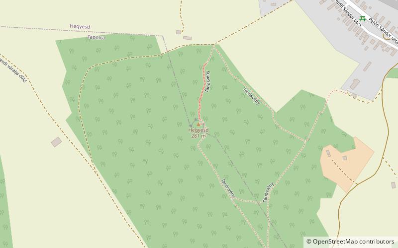
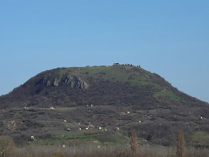
The castle of Mountsesd was probably built in the second half of the 13th century as part of a defence system against another attack by the Tatars. Today, the barely visible remains of one of the little known ruins of the Balaton highlands, not visible from afar, are crumbling along the Route 77 between Tapolca and Veszprém, on a volcanic cone with a height of 281 metres and a 190 m² hilltop at the northeastern entrance to the Tapolca basin, on the outskirts of the village of Hegyesd.
Coordinates: 46°54'51"N, 17°30'41"E
Location
Veszprém
ContactAdd
Social media
Add
Day trips
Hegyesd – popular in the area (distance from the attraction)
Nearby attractions include: Csobánc, Tapolcai-tavasbarlang Látogatóközpont, Szent György-hegy, VOKE Batsányi János Művelődési és Oktatási Központ.


