Cserhát
Map

Map

Facts and practical information
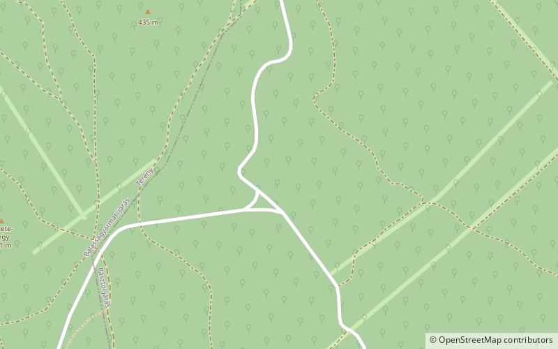
Cserhát is a mountain range in Hungary, part of the North Hungarian Mountains, divided between Pest and Nógrád counties. Its highest point is the Naszály with an elevation of 654 metres above sea level. ()
Location
Nógrád
ContactAdd
Social media
Add
Day trips
Cserhát – popular in the area (distance from the attraction)
Nearby attractions include: Szanda vára.

