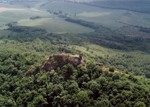
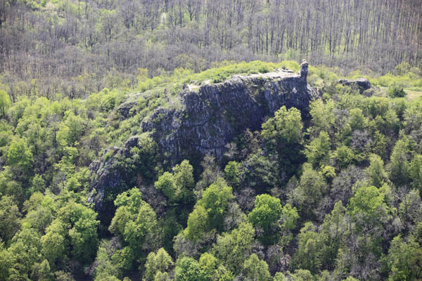
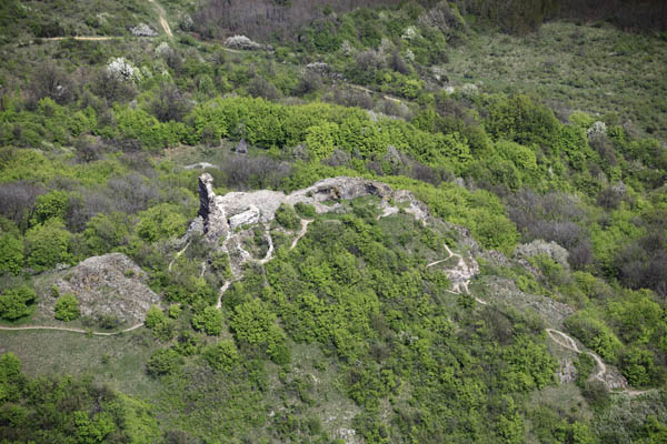
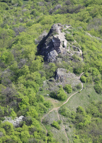
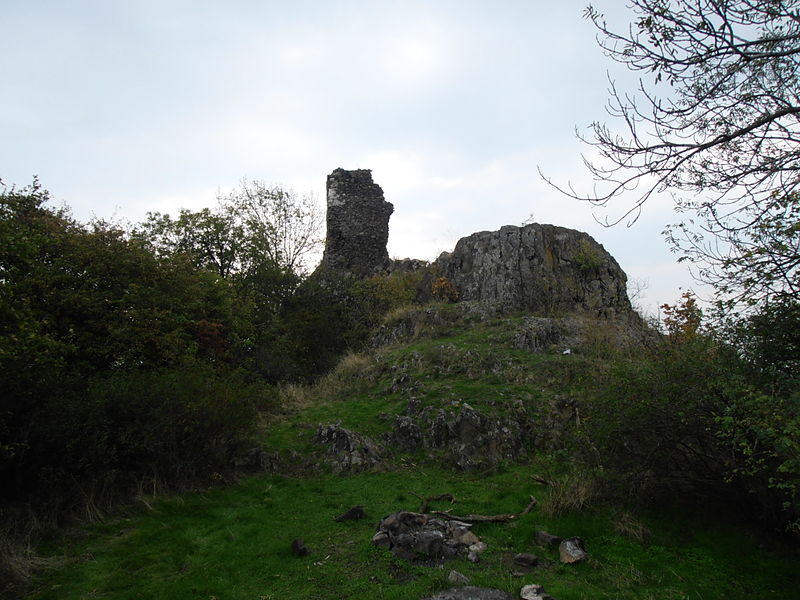
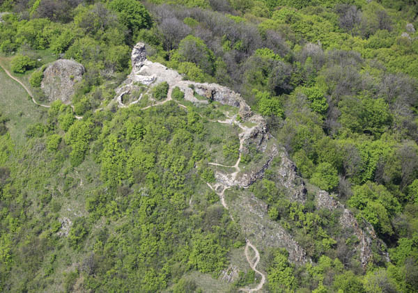
Szanda vára

Gallery (7)
Map

Map

Gallery
Facts and practical information
On the 529-metre-high volcanic peak of the Chernobyl Mountains lies the ruins of Sandavár. It is a good hour's walk from Sanda.
Coordinates: 47°54'41"N, 19°25'21"E
Location
Nógrád
ContactAdd
Social media
Add
Day trips
Szanda vára – popular in the area (distance from the attraction)
Nearby attractions include: Cserhát.
