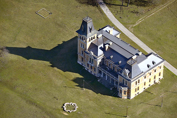
Kégl-kastély, Székesfehérvár

Gallery (2)
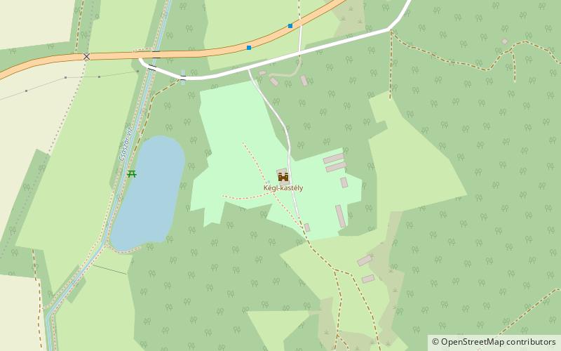
Map
Map
Gallery
Facts and practical information
The Kégl Castle was built in 1878 in Csalapustá by landowner and member of the Parliament György Kégl. It was built in the neo-Renaissance style according to the plans of Alajos Hauszmann.
Coordinates: 47°13'48"N, 18°29'43"E
Address
Székesfehérvár
ContactAdd
Social media
Add
Getting there by public transportation
Public transportation stops near this location
- Bus
 Bus
Bus
- Calculate routeCsala, alsó 6 min walk
- Calculate routeCsala, bejárati út 17 min walk
- Calculate routeSzékesfehérvár, Istvánmajor 23 min walk
Day trips


Frequently Asked Questions (FAQ)
How to get to Kégl-kastély by public transport?
The nearest stations to Kégl-kastély:
Bus
Bus
- Csala, alsó • Lines: 718 (6 min walk)
- Csala, bejárati út • Lines: 718 (17 min walk)