Mývatn
Map

Map

Facts and practical information
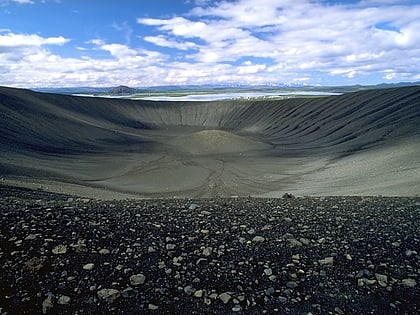
Mývatn is a shallow lake situated in an area of active volcanism in the north of Iceland, not far from Krafla volcano. It has a high amount of biological activity. The lake and the surrounding wetlands provides a habitat for a number of waterbirds, especially ducks. The lake was created by a large basaltic lava eruption 2300 years ago, and the surrounding landscape is dominated by volcanic landforms, including lava pillars and rootless vents. The effluent river Laxá is known for its rich fishing for brown trout and Atlantic salmon. ()
Alternative names: Area: 14.29 mi²Maximum depth: 15 ftElevation: 919 ft a.s.l.Coordinates: 65°36'12"N, 16°55'25"W
Location
Hálshreppur
ContactAdd
Social media
Add
Day trips
Mývatn – popular in the area (distance from the attraction)
Nearby attractions include: Hverfjall, Grjótagjá, Hike and Bike - Iceland, Grjótagjá.


