Námafjall


Facts and practical information
The mountain and the environment is a high -temperature area that runs through a fissure that extends north from Öxarfjordur through the Krafla volcano and south for Hverafell. The geothermal heat is maintained by magma deposits from the volcano.
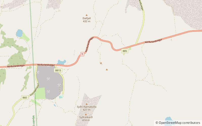
The highway between Mývatn and East Iceland lies through Námaskarð just east of Bjarnarflag between Dalfjall and Námafjall.
Dense crack belt lies across the entire mining area, but the main stream is east of the mountain and it has been under the name of Hverarönd in recent years. In that area there are many steam and clay, but no water. The clay neighborhoods are large and prominent, but the steam districts are many other than boreholes that have been loaded. Soil infertile and vegetation in the high -temperature area and very acidic due to the effects of the hot air and the sulfur falls out.
Earlier in the centuries, there was a lot of sulfur studies at Námafjall, but in the Middle Ages the sulfur was used in powder. The owners of Reykjahlíð were greatly enriched the sale of sulfur. Sulfur was processed in Hlíðarmám. The King of Dan acquired the mines in 1563. They were used from time to time in the mid -19th century. A plant to work sulfur was built in Bjarnarflag in 1939 and worked for several years.
The geothermal area at Námafjall and all Skútustaðahreppur was protected in 1974.
Hálshreppur
Námafjall – popular in the area (distance from the attraction)
Nearby attractions include: Hverfjall, Mývatn, Grjótagjá, Hike and Bike - Iceland.


