Geitlandsjökull

Map
Facts and practical information
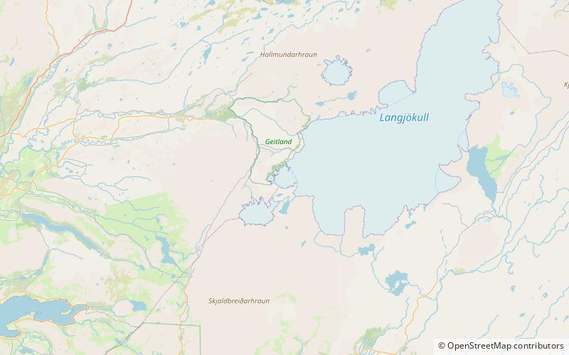
Geitlandsjökull is a lateral glacier of Langjökull, the second largest ice cap in Iceland, in the west of Iceland. The highest point of Geitlandsjökull, which lies on top of a tuya, reaches a height of 1,400 m. ()
Location
Vesturland
ContactAdd
Social media
Add
Day trips
Geitlandsjökull – popular in the area (distance from the attraction)
Nearby attractions include: Þórisjökull, Prestahnúkur.

