Þórisjökull

Gallery (2)
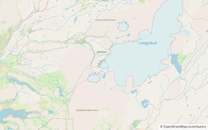
Map
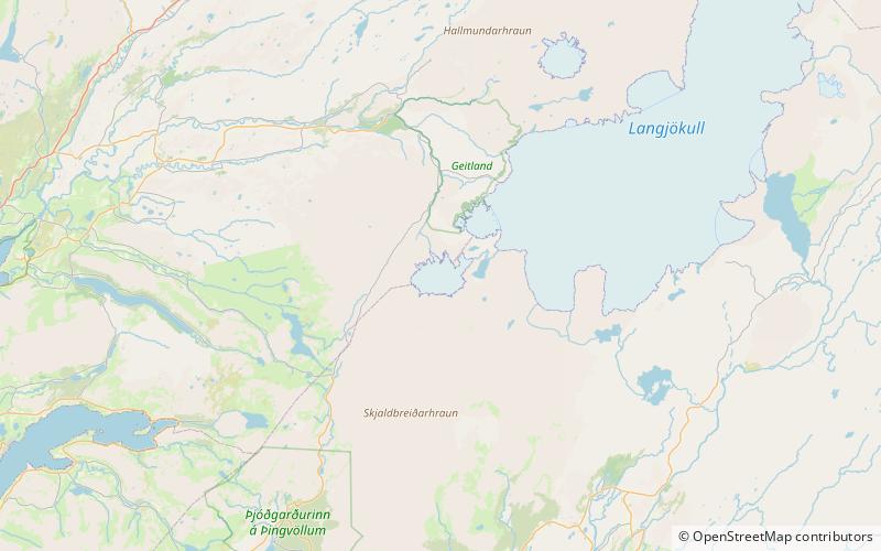
Map
Gallery
Facts and practical information
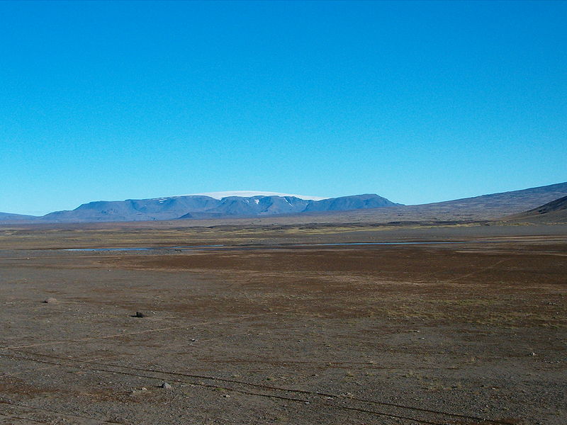
Þórisjökull or Thórisjökull is a small glacier and volcano in western-central Iceland, to the southwest of Langjökull glacier. It has an elevation of 1,350 metres. Kaldidalur lies in the foreground. ()
Location
Suðurland
ContactAdd
Social media
Add
Day trips