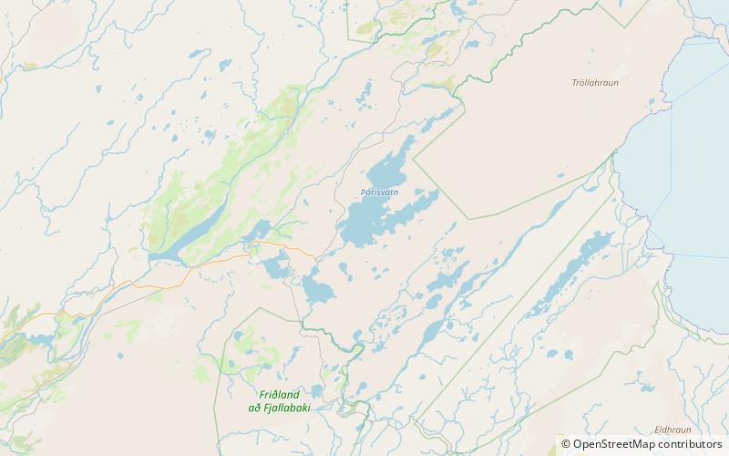
Þórisvatn

Map
Facts and practical information
Þórisvatn is the largest lake of Iceland, situated at the south end of Sprengisandur highland road within the highlands of Iceland. ()
Alternative names: Area: 33.98 mi²Maximum depth: 358 ftElevation: 1886 ft a.s.l.Coordinates: 64°13'60"N, 18°55'0"W
Location
Suðurland
ContactAdd
Social media
Add
Day trips
Þórisvatn – popular in the area (distance from the attraction)
Nearby attractions include: Sigöldulón.
