Þjóðveldisbærinn Stöng

Gallery (2)
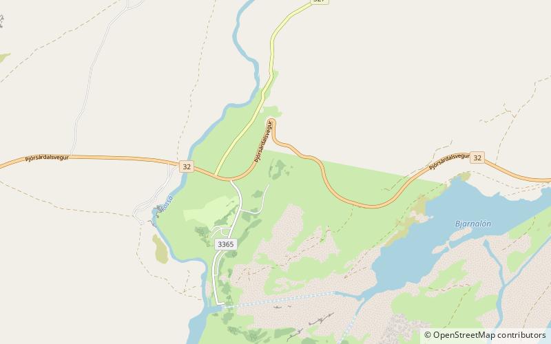
Map
Map
Gallery
Facts and practical information
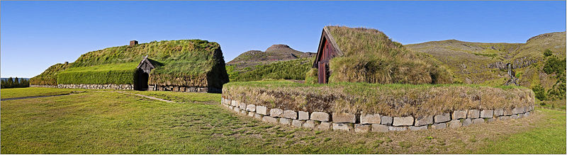
Þjóðveldisbærinn Stöng is a reconstructed viking-era farmstead in Iceland, located in the Þjórsárdalur valley near road 32 in Árnessýsla county. It is a historically accurate reconstruction of the three buildings, including a longhouse, which stood 7 km to the north at Stöng; the farm is believed to have been buried under volcanic ash in 1104 following the eruption of the volcano Hekla. ()
Location
Suðurland
ContactAdd
Social media
Add
Day trips


