Hafnarfjall


Facts and practical information
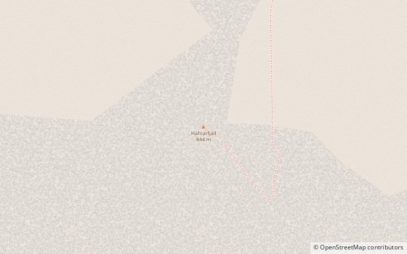
Hafnarfjall is 844 m high mountain about 4 km southeast of Borgarnes, near Vesturlandsvegur. The mountain is mentioned in the Landnámabók and reached the broad settlement of Skallagrimm.
Hafnarfjall is a steep steep, the landslides and the slopes of vegetation. It is part of a volcano that was active four million years ago at Skarðsheiði. It is mostly formed from octopus, but in the northern slope of the mountain there is a light search of a granophic rocket called floods. Above is the highest peak of the mountain, Gildalshnukur. It takes about three hours to walk on Hafnarfjall and it is most convenient to walk on it to the north above Borgarfjörður Bridge or south of Brekkurotar north of Olver.
Under the mountain is Hafnarskogur which is a birch forest.
Vesturland
Hafnarfjall – popular in the area (distance from the attraction)
Nearby attractions include: Settlement Centre, Borgarfjörður, Borgarfjarðarbrú, Agricultural University of Iceland.


