Borgarfjarðarbrú

Gallery (1)
Map
Map
Facts and practical information
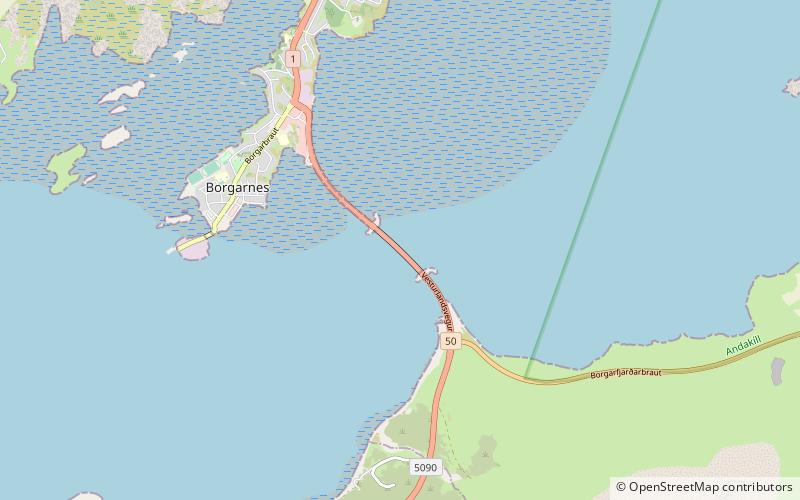
Borgarfjarðarbrú is the second longest bridge in Iceland, after Skeiðarárbrú. It crosses Borgarfjörður, linking Borgarnes to Route 1 and connecting the town with other parts of Iceland. It spans 520 m and was opened on 13 September 1981, with repairs being done in 2012. Before the bridge was opened, the Ring Road crossed the Hvítá river 4 kilometres upstream of its mouth into Borgarfjörður at the bridge at Ferjukot opened in 1928. ()
Location
Vesturland
ContactAdd
Social media
Add
Day trips