Kleifarvatn
Map

Map

Facts and practical information
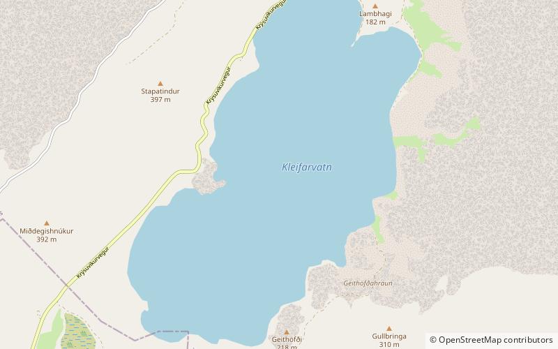
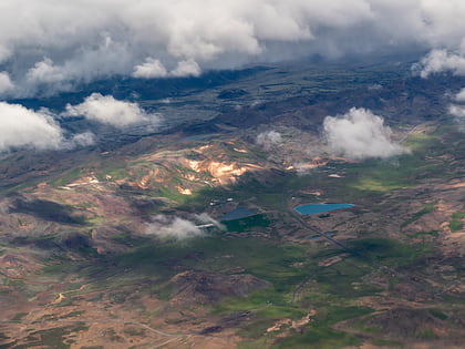
Kleifarvatn is the largest lake on the Reykjanes Peninsula in Iceland, situated in the southern part of the peninsula. It is located on the fissure zone of the Mid-Atlantic Ridge. The lake has no visible water coming in or going out as most of its water comes and leaves underground. The lake can be reached via a track, and there are two areas with high temperature that can be found not far from it: Seltún/Krýsuvík and another to the east. The lake's greatest depth is 97 m. After the 2000 Iceland earthquakes, the lake began to diminish, and 20% of its surface has since disappeared. ()
Alternative names: Area: 3.47 mi²Length: 2.92 miWidth: 8202 ftMaximum depth: 318 ftElevation: 443 ft a.s.l.Coordinates: 63°55'33"N, 21°58'36"W
Location
Suðurnes
ContactAdd
Social media
Add
Day trips
Kleifarvatn – popular in the area (distance from the attraction)
Nearby attractions include: Krýsuvík.

