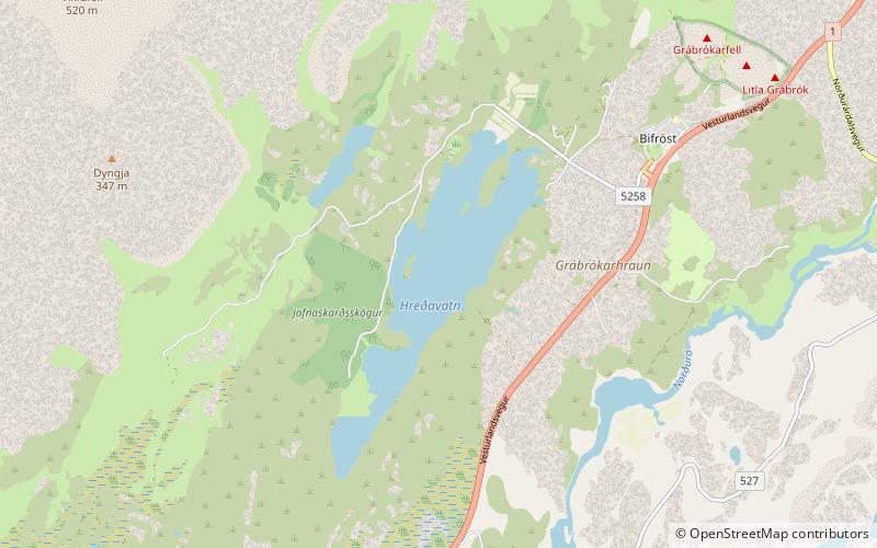
Hreðavatn

Gallery (1)
Map
Map
Facts and practical information
Hreðavatn is a lake in the west of Iceland. It is situated near Route 1 between Borgarnes and the pass of Holtavörtuheiði. Nearby is the university faculty of Bifröst and the Grábrók craters as well as the mountain Baula. ()
Alternative names: Area: 0.5 mi²Length: 3.11 miMaximum depth: 66 ftElevation: 184 ft a.s.l.Coordinates: 64°45'27"N, 21°35'13"W
Location
Vesturland
ContactAdd
Social media
Add
Day trips
Hreðavatn – popular in the area (distance from the attraction)
Nearby attractions include: Háskólinn á Bifröst.
