Holuhraun, Vatnajökull National Park
Map

Gallery

Facts and practical information
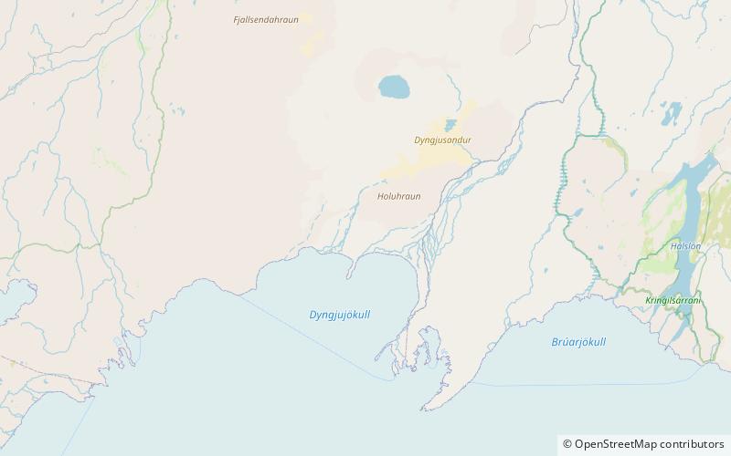
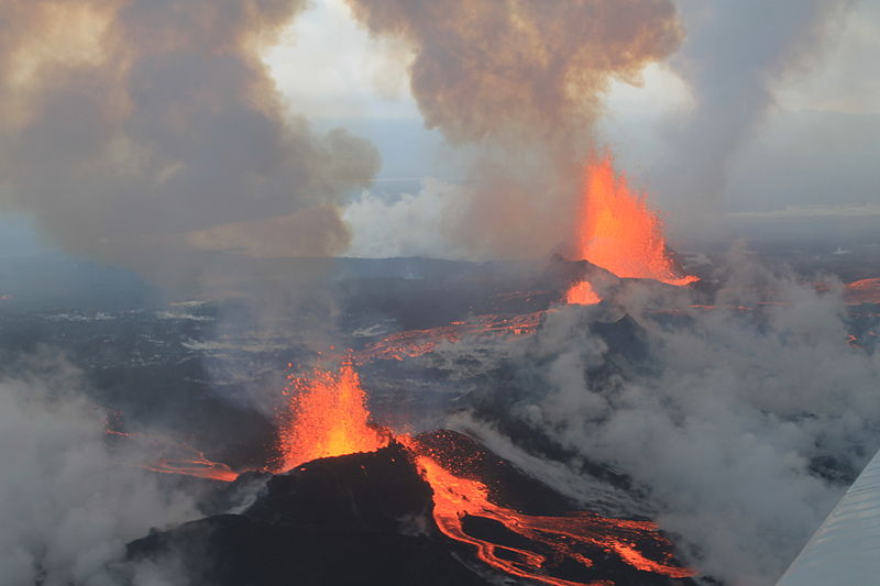
Holuhraun is a large lava field just north of the Vatnajökull ice cap, in the Icelandic Highlands, in Suður-Þingeyjarsýsla, Northeastern Region, Iceland. The lava field was created by fissure eruptions. After a research expedition in 1880, the lava field was initially called Kvislarhraun. Four years later, it received its current name by the geologist and geographer, Þorvaldur Thoroddsen. Holuhraun is the site of a volcanic eruption which began on 29 August 2014 and produced a lava field of more than 85 km2 and 1.4 km3 – the largest in Iceland since 1783. ()
Address
Vatnajökull National Park
ContactAdd
Social media
Add
Day trips
Holuhraun – popular in the area (distance from the attraction)
Nearby attractions include: Baugur.

