Drangajökull
Map

Map

Facts and practical information
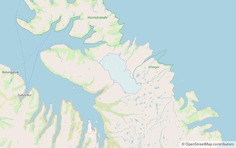
Drangajökull is the northernmost glacier of Iceland. It is situated southwest of the peninsula Hornstrandir in the Westfjords region. The glacier covers an area of 160–200 km2, at an altitude of up to 925 m. It is the only Icelandic glacier which lies entirely below an altitude of 1000 metres and also the only one that has not shrunk in recent years. ()
Location
Vestfirðir
ContactAdd
Social media
Add
