Vesturbær, Reykjavík
Map
Map

Facts and practical information
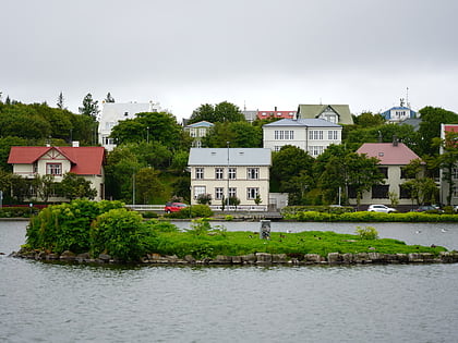
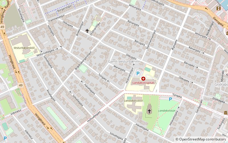
Vesturbær is a district in Reykjavík in Iceland, comprising eight neighbourhoods west of the city center: Gamli Vesturbær, Bráðræðisholt, Grandahverfi, Hagahverfi, Melar, Skjól, Grímsstaðaholt, Skildinganes and Litli Skerjafjörður. ()
Address
VesturbærReykjavík
ContactAdd
Social media
Add
Day trips
Vesturbær – popular in the area (distance from the attraction)
Nearby attractions include: Tjörnin, Bankastræti, National Gallery of Iceland, Elding Whale Watching Reykjavik.
Frequently Asked Questions (FAQ)
Which popular attractions are close to Vesturbær?
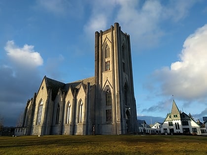
Nearby attractions include Landakotskirkja, Reykjavík (4 min walk), Aurora Reykjavik, Reykjavík (7 min walk), Sögusafnið / Saga Museum, Reykjavík (7 min walk), Volcano House, Reykjavík (7 min walk).
How to get to Vesturbær by public transport?
The nearest stations to Vesturbær:
Bus
Bus
- Hávallagata • Lines: 13 (2 min walk)
- Hringbraut • Lines: 13 (5 min walk)

