Hvítárvatn
Map

Map

Facts and practical information
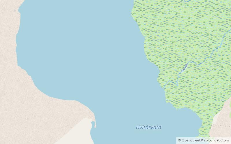
Hvítárvatn is a lake in the Highlands of Iceland and the source of the glacial river Hvítá, Árnessýsla. It is located 45 km northeast of Gullfoss waterfall. Its surface is about 30 km2 and its greatest depth is 84 m. ()
Alternative names: Area: 11.58 mi²Maximum depth: 276 ftElevation: 1375 ft a.s.l.Coordinates: 64°36'33"N, 19°50'12"W
Location
Suðurland
ContactAdd
Social media
Add
