Holtsós
Map

Map

Facts and practical information
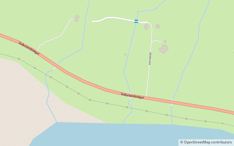
Holtsós, sometimes anglicised as Holtsos, is a tidal lagoon south of Eyjafjallajökull in south Iceland. It is fed by the Holtsá river and separated from the Atlantic Ocean by a narrow strip of sand. It is approximately 4 kilometres long by 2 kilometres wide and approximately 2 metres deep at its deepest point. ()
Length: 2.49 miWidth: 6562 ftMaximum depth: 7 ftElevation: 33 ft a.s.l.Coordinates: 63°32'51"N, 19°44'36"W
Location
Suðurland
ContactAdd
Social media
Add
Day trips
Holtsós – popular in the area (distance from the attraction)
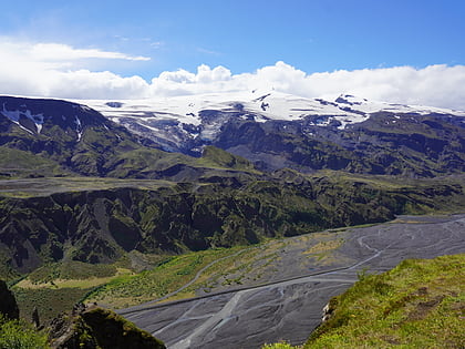
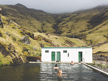
Nearby attractions include: Eyjafjallajökull, Seljavallalaug.


