Eyjafjallajökull
Facts and practical information
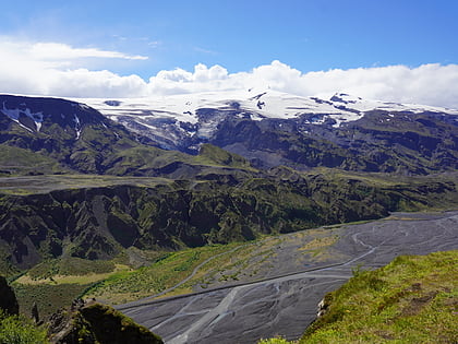
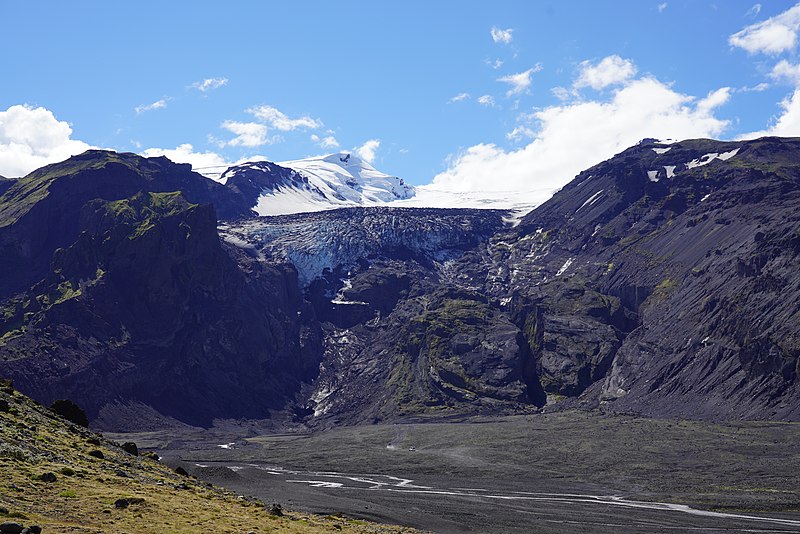
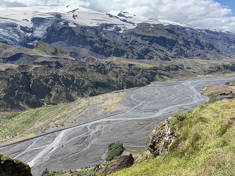
Eyjafjallajökull, a formidable presence on the Icelandic landscape, is a volcano that has captured worldwide attention. Nestled beneath an ice cap of the same name, Eyjafjallajökull stands at 1,651 meters, and is located on the southern coast of Iceland, approximately 120 kilometers from the capital city of Reykjavik.
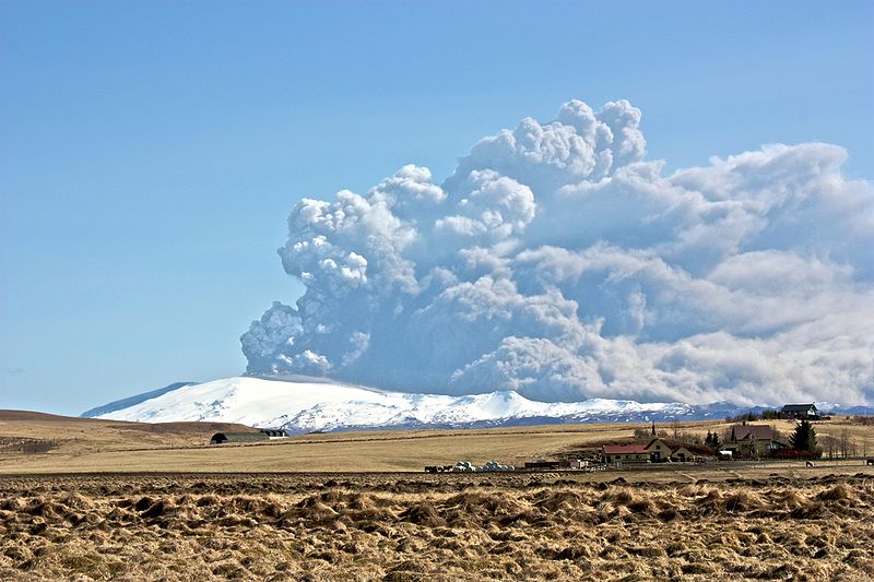
This stratovolcano is renowned for its 2010 eruption, which caused unprecedented disruption to air travel across Europe. The eruption spewed an ash cloud into the atmosphere, grounding flights and affecting millions of passengers due to concerns over air safety and jet engine functionality. Eyjafjallajökull's eruption highlighted the significant impact that volcanic activity can have on modern-day life, even at a global scale.
The volcano itself is relatively modest in size, but its 2010 eruption was notable for the explosive interaction between the hot magma and the overlying glacial ice, creating fine ash. Scientifically, it serves as a case study for vulcanologists and geologists who monitor and analyze volcanic behavior, particularly in ice-covered regions.
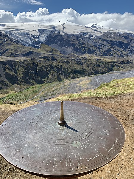
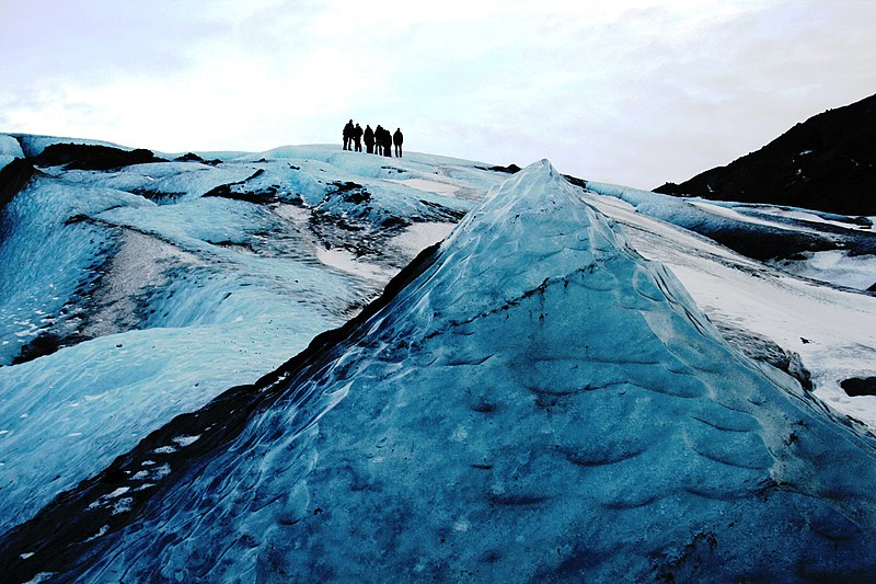
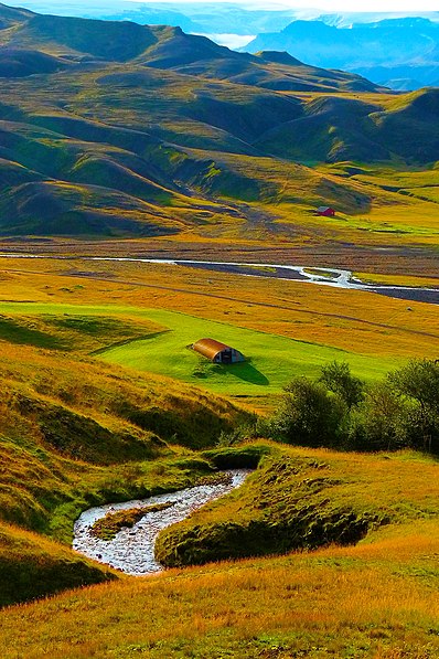
For tourists, Eyjafjallajökull has become an iconic destination, offering breathtaking views and the opportunity for guided hikes and aerial tours. The surrounding area, marked by dramatic landscapes shaped by volcanic activity, also features waterfalls, such as the picturesque Seljalandsfoss, and other natural wonders.
Suðurland
Eyjafjallajökull – popular in the area (distance from the attraction)
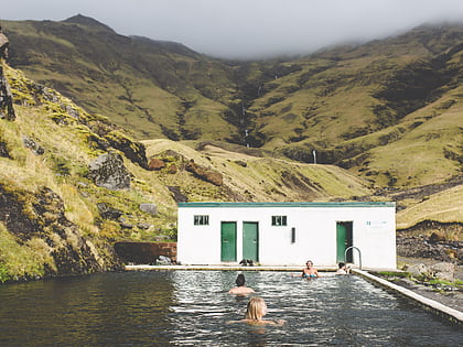
Nearby attractions include: Seljavallalaug, Thórsmörk, Holtsós, Skógafoss.
