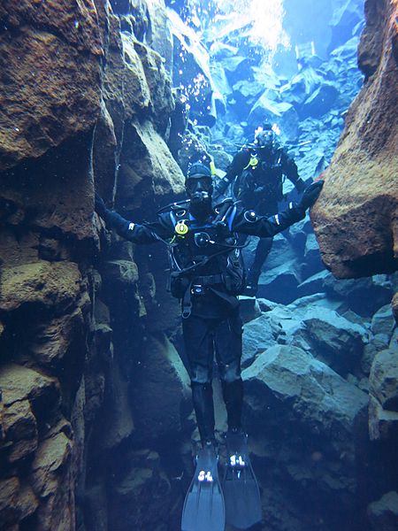
Silfra, Þingvellir National Park

Gallery (2)
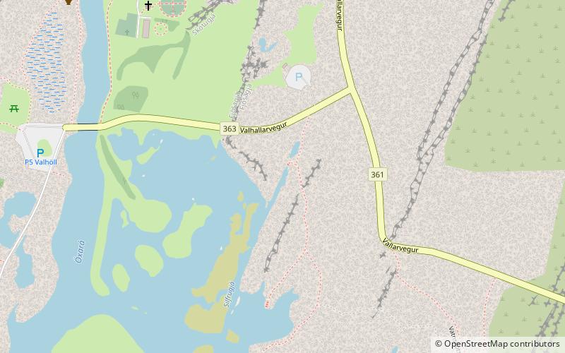
Map
Map
Gallery
Facts and practical information
Silfra is a rift formed in the Mid-Atlantic Ridge – the divergent tectonic boundary between the North American and Eurasian plates – and is located in the Þingvallavatn Lake in the Þingvellir National Park in Iceland. ()
Address
Þingvellir National Park
ContactAdd
Social media
Add
Day trips
Silfra – popular in the area (distance from the attraction)
Nearby attractions include: Öxarárfoss, Lögberg, Þingvallavatn.


Frequently Asked Questions (FAQ)
Which popular attractions are close to Silfra?
Nearby attractions include Lögberg, Þingvellir National Park (10 min walk), Öxarárfoss, Þingvellir National Park (19 min walk).