Þingvallavatn
Map

Map

Facts and practical information
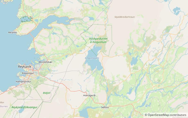
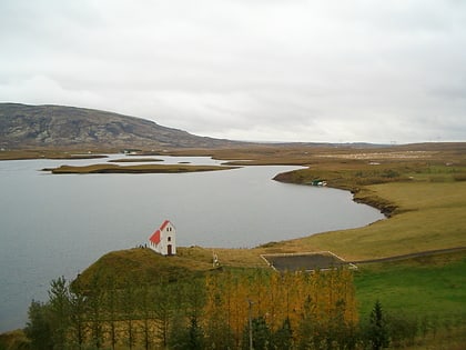
Þingvallavatn, anglicised as Thingvallavatn, is a rift valley lake in southwestern Iceland. With a surface of 84 km² it is the second largest lake in Iceland. Its greatest depth is 114 m. At the northern shore of the lake, at Þingvellir, the Alþingi, the national parliament, was founded in the year 930, and held its sessions there until 1799 and still as of today the name Alþingi Íslendinga is carried by the parliament of Iceland. ()
Day trips
Þingvallavatn – popular in the area (distance from the attraction)
Nearby attractions include: Silfra, Lögberg, Úlfljótsvatn Lake.


