Inielika

Gallery (1)
Map
Map
Facts and practical information
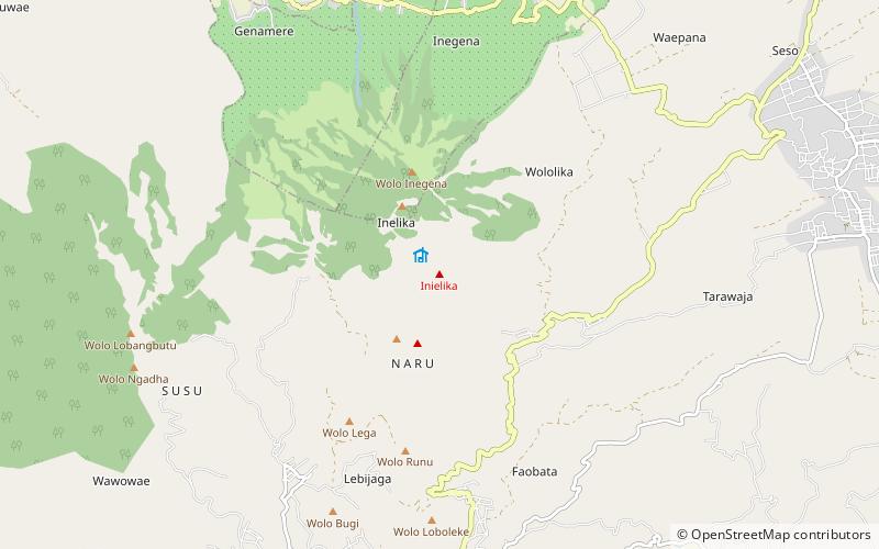
Local name: Gunung Ine Lika Last eruption: 2001Elevation: 5115 ftCoordinates: 8°43'48"S, 120°58'48"E
Location
East Nusa Tenggara
ContactAdd
Social media
Add
Day trips
Inielika – popular in the area (distance from the attraction)
Nearby attractions include: Bajawa.
